
Thank you for using this forecast. Like it? Find it useful? Support it (and me!) by sending some cash my way. What’s it cost to support me and get the email version? Not $99 a year. Nope. Not $49. Just $19.99 or more gets you a year. People are added to this list on Thursday and Sunday. My day job is crisis mental health, and I don’t have time on other days. Thanks for your patience! Click below to contribute. Thank you!!
 |
|
 |
Thank you for contributing and keeping this forecast going! Not ready to subscribe? No problem – please share this forecast with all your friends too! I appreciate your support!
The Forecast
| Snow level | 4a-8a | 8a-12p | 12p-4p | 4p-8p | 8p-4a |
|---|---|---|---|---|---|
| Thursday 1000′ |
 |
|
|
|
|
| Friday 0′->complicated |
 |
|
|
|
 |
| Saturday complicated |
|
|
|
|
 |
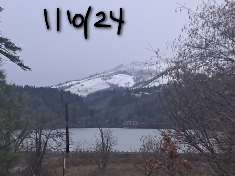
Mt. Hood Snow Forecast
Hello skiers and snowboarders and Nordic folks. Yesterday was a brutal one on the slopes – the ski resorts were doing everything they could to de-ice lifts, and Mother Nature was doing everything she could to keep the lifts from turning. The wind on Thursday will continue to impact lift operations. Snowfall rates will be down. Check the resort websites before heading up. Special notes: it’s Skibowl’s first day of operations for the year. They’re a little more wind-protected than other areas. Next note: Teacup plans to groom to keep up with the storm. This isn’t their usual grooming day. If you go, give the grooming machines plenty of room – they’ll be out there all day. Bring treats for the groomers.
So, Thursday’s weather. The snow level will be 1000′ all day and down to 0-1000′ overnight. About 0.4” water equivalent (WE) is forecast during the day. Call that 4”-6” powder. Same overnight: 4-6” powder. Add on 25-50% thanks to orographic wind assistance. Here’s the bad news: the wind will be just the right direction and just strong enough to impact at least some lifts: NW 35-40 prior to dawn, NW 40 midday, W 45 in the afternoon (lifts actually could work just fine then), and WNW 50 in the evening (say bye to many lifts). Overnight, the wind drops to WNW 25-35. My best guess is that Meadows can run their new 6-pack, which I’m calling Beast Mode.
Arctic air this way comes on Friday. Models are all over the place on precipitation totals from Friday into Saturday. They’re so all over the place that I can’t really tell you what will happen. Added to the confusion is this very strong arctic cold front coming from the NE. As of right now, it doesn’t appear that the east wind and cold air will be deep enough to cause easterly orographic snowfall, but it might. Here’s the best guess on snow totals: 0.6” WE during the day for 6-8” powder. Let’s have a different paragraph to talk about Friday night.
Warmer air moves in from the west and encounters the cold air on the east side. Models do not agree on how much moisture will be involved. Perhaps we’ll know in the next 24 hours of model runs. Anyway, at some point Friday night, the precip type is likely to change from snow to something else. Sleet? Freezing rain? Snain? Probably freezing rain or sleet. It doesn’t switch back until Saturday sometime; as of now, perhaps between 10am and 1pm? If we’re really, really, really lucky, the cold pool will be deep enough to keep it snow. Fingers crossed. Wind on Friday will be WNW 20-25. Overnight, models aren’t sure … probably W 30 up high and E 30 down low. Uncertainty increases on Saturday as one model taps into an atmospheric river and the other doesn’t. It’ll snow (effective snow level around 3500′ – actual snow level in the Gorge 0′), but we’re not sure how much. Could be massive. Could be unimpressive.
More clarity is present Sunday through Tuesday: dry, sunny, and much warmer than the lowlands, at least on the higher slopes above the inversion. Temps rise into the upper 20’s on Saturday and Sunday and above freezing Monday. Next system: Wednesday. See you on the slopes! Hopefully this night-before forecast is more helpful than me getting a forecast out between 8 and 9 in the morning. Just for ski season. Back to mornings when it’s wind season. Or at least, let’s try this for a bit!
Gorge Wind Forecast
 Hi friends! It’s another day of west wind Thursday, and another rainy afternoon. Expect 13-16 west of The Dalles in the morning with 18-22 out east. Models suggest Avery to Boardman will rise to 23-26 midday while Stevenson to Hood River rises to 16-19. In between Mosier and Doug’s? Less. Late in the afternoon, models knock the eastern Gorge down to 13-16 and take Stevenson to Swell to 20-23. River flow on Wednesday was 63-99kcfs, river temp is 43F, and high temp forecast is 41F with rain to Hood River after 10am, The Dalles by 1pm, and Biggs by 4pm.
Friday brings nuking EASTERLIES all through the Gorge. Expect 30-40 from Viento eastward by mid-morning with snow. Give it a couple hours, and Iwash will rise to 50-70 and Stevenson to 40+. High temp: very unclear. Depends on when the cold air arrives, but probably not above the mid-30’s. Saturday brings easterlies at 40-50 at Stevenson and 60+ at Iwash. High temp: somewhere between 0F and 15F. For reals. Ditto on Sunday and probably Monday.

| FORECAST SPONSORED BY / AWESOME COMPANIES TO SUPPORT | |
 |
|
Jones, Sauvie’s, Coast – On vacation ‘til summer unless otherwise noted
Hood River Weather Forecast
Thursday will be another rainy day. Temps start in the mid 30’s and rise to the low 40’s. Snow mixed with rain isn’t out of the question early. Later: rain. Overnight: snow, probably. Moderate westerlies. 99% chance of rainbows. Friday will be snowy and very windy. Temps start in the upper 20’s or low 30’s. Some models say they will go up, but they’re more likely to go down. It’s very unclear how much snow we’ll get. See TATAS for details. Saturday will be bitterly cold with a stupid Nothing cloud. Temps start between 0 and 10 and rise to 0 to 15. In other words, they don’t rise much. And it will probably snow. Again, see TATAS. Bitterly cold Nothing sticks around at least through Monday. Head to the mountain for sun.
Looking for a complete Columbia Gorge forecast? Looking for more humor in your weather? Obscenities? You’re looking for my TATAS: Temira’s Awesome Travel Advisory Service on Facebook.
Local-ish Events
Please let me know of outdoor-related local-ish events. If you don’t tell me, I don’t know!
The Teacup Tea Party is 1/13 at Teacup with free beginner and intermediate skate and classic ski lessons. Hood River Rotary Night at Meadows is Monday, 1/15. Registration is open for Gorge Ultimate winter league. Sign up here: https://gorge.ultimatecentral.com/e/winter-league-2024 – Teacup has an après ski fundraiser at the Ruins on January 27th. $25. Amayah’s Indian Cafe (Biggs) offers a free meal every first Thursday from 1-4pm.
Regular weekly events:. NK Studio’s by-donation Tuesday morning yoga class is back. Ferment’s Tuesday night 4-mile walk/run is at 6pm. There’s meditation with monks at 5:15pm (an hour) and 6:30pm (30 minutes plus a talk) at Yoga Samadhi in White Salmon. The Tri Club is done for the season. At 7:15am on Wednesdays, there’s a run from the White Salmon Bakery. At 7am on Friday morning, there’s a run from Pine Street Bakery. On Fridays at 2:30pm, there’s a free meditation and stretching class at Yoga Samadhi. On Saturday at 9am, there’s a by-donation outdoor group fitness on the 2rd floor deck about Ferment Brewing.
Cycling
Regarding the trails in general: don’t ride in the mud. You’ll damage the trails. Don’t ride trails if it was below freezing the previous night and is above freezing when you want to ride. Ride gravel. Ride your trainer. Build trails. There are trail builders seeking extra hands on seven additional miles of trail on Whoopdee. Contact HRATS for more information. If you’re parking at Post Canyon, you will need a parking pass. Those can be purchased at many local shops or online.
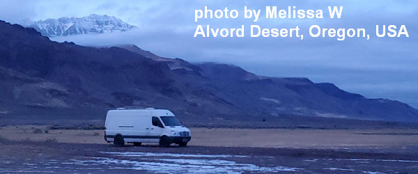
Sprinter Van of the Week!
 Click here for the Sprinter Van map of the world!!!
Have an awesome day!