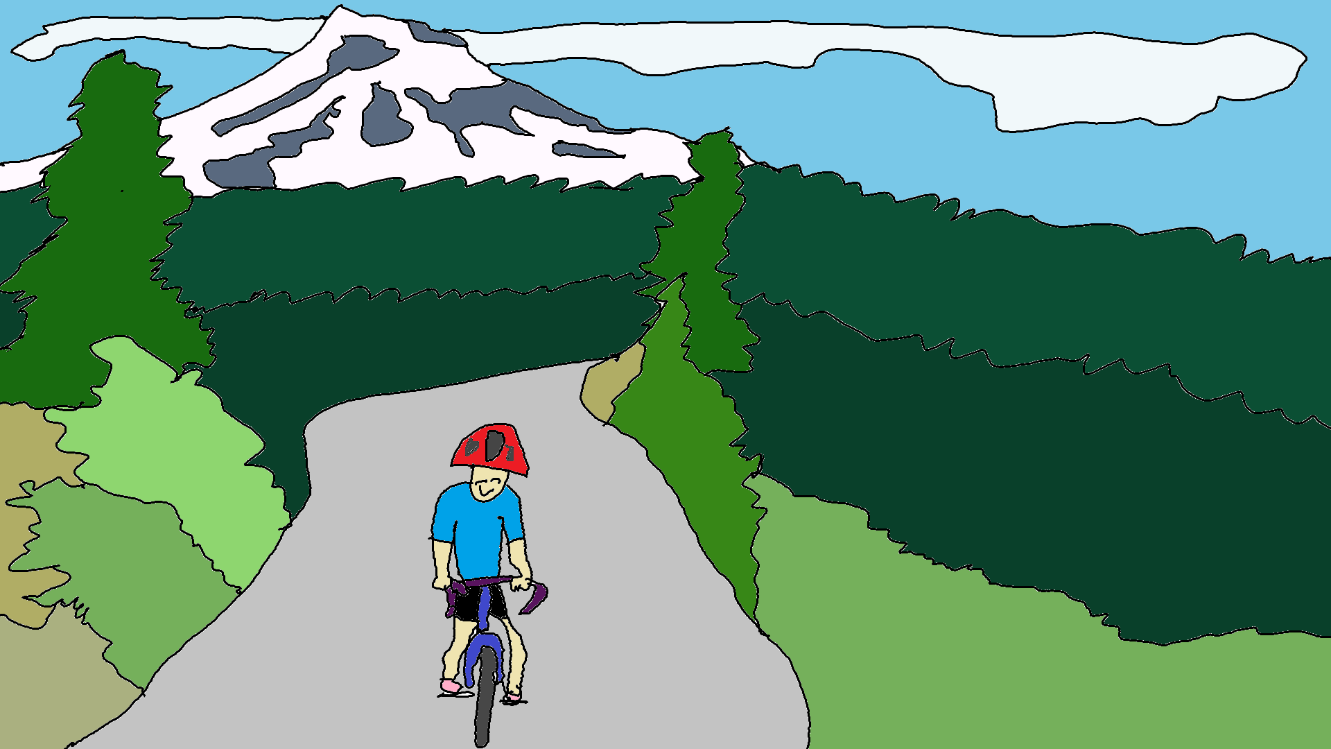
Vista Ridge Road / Mixed Surface
Miles: 65ish (depending on your route)
Elevation gain: 6000’ish (depending on your route)
GPX file for the loop: Click here
NOTE: This ride used to be all pavement, but now it has several miles of gravel. Why? Because it was cheaper for the USFS to rip out pavement on Vista Ridge and replace it with gravel than it was to repave the road for the logging trucks. Think about that for a while.
65 miles. This one’s a stunner. It’s an awesome ride near Hood River. Great pavement, lots of forest, fun descents, quiet back roads (on weekdays, anyway). And options! Like any ride, there are multiple ways to ride this one. Just make sure you come prepared with lots of water and strong legs. There’s no potable water refills until mile 45, and there’s over 4500′ of climbing by then. Carry more than two bottles, or bring iodine or a filter.
Are you scared? No? Good! This is one of the most amazing rides near Hood River. Sure, Vista Ridge is tough, but the views are amazing, the single-lane forest road is nearly empty of traffic, and the forested steep climb stays cool and pleasant. Ride it and be happy. Ride it and earn whatever you want for dinner. And desert. Mmm. Ice cream. I love ice cream.
Take any route out of Hood River to the excellent pavement and somewhat trafic-y Dee Highway. Shoulders: about 1/3 of the time. Follow it to the turn to Dee. Veer right to Dee, and then turn left at the T on to Lost Lake Road. From here on out, at least during the week, traffic should be minimal. On weekends, it’s a different story, as Lost Lake Resort is a popular destination. Back to the ride… we’re on Lost Lake Road. Climb a hill to Dee Flats, land of the best blueberry farm ever, and continue to follow Lost Lake Road. Ride past the Lake Branch / Wahtum Lake turn, and continue up Lost Lake Road. This is a windy, mostly-forested, two-lane forest road. (If you want to make this even longer with even more climbing, you can add a loop up Wahtum to Lake Branch and down Lost Lake Road to the Lolo Pass turnoff)
Take a left on the paved road signed “Lolo Pass / Vista Ridge”. You’ll descend to a bridge. Then climb a steep, long hill through beautiful shady forest on paved single lane forest road. You’ll really want to drink from all the beautiful streams. If you have a filter, have at it! Refill your bottles early, because the streams peter out about halfway up the climb. Which is long. Quite long.
Under the power lines, take the left fork toward Vista Ridge (go straight to Lolo Pass). Climb. Climb more. Climb more. After about 8 miles, the road levels out. Continue straight, for a long, mellow slightly downhill section. After three more short climbs, you’ll top out. Make sure you look behind you on the third climb for a stellar view of Mt. Hood.
Descend Red Hill Road. Do it with care, as there are many potholes. At the bottom, take a left on the Old Parkdale Road (to Trout Creek Ridge Road back to Dee Highway) for a shorter route home. Or go right to Baseline Road to Parkdale for a snack and refill of water. You can snack at McIsaacs Grocery Store, Solera Brewery, or Apple Valley BBQ.
For the full loop, rather than the lollipop, Follow Baseline east out of Parkdale, and take a left on Cooper Spur Road. You’ll hit highway 35. Normally I’d suggest staying off highways – this one has a fair bit of traffic – but this is pretty good pavement. Or take Allen Road north to Woodworth and Woodworth east to Highway 35. You can follow 35 all the way back to your car in Hood River, or, for a nicer ride, you can go right Neal Creek Road, behind the sawmill, and then left to follow Booth Hill Road back to 35. Cross 35 and follow Straight Hill Road to Odell. Go right on Davis at the T at the bottom of the hill. Take a left on Stadleman, Right on Neal Creek Mill Road, left on an unnamed spur, and cross 35. Follow Sunday drive. Take a right on Neal Creek, a left on Thompson, go past the old Rasmussen Farms buildings, and turn right on Fir Mountain. Take a quick left on Eastside, and follow it all the way through the orchards to a V intersection with Eastside and Highline. Stay right. When that road Ts after a steep descent, go left for a curvy descent down the China Gorge curves to come within sight of Hood River. Make your way back to your car.
Most of the route after you take the turnoff at the sawmill winds through beautiful fruit orchards. On calm spring days, be aware of orchardists out spraying chemicals. They are usually finished before afternoon arrives. It’s beautiful, especially in spring when the trees are in full bloom.
Pure radness, truly. What a ride!

Have an awesome day.
Love, Temira