Three Summits
Distance: 71.84 miles
Elevation gain: 8078′
GPX file: click here
PDF directions: click here
Surface: mostly paved road riding, but some gravel. Mixed surface, in other words.
IMPORTANT CAVEATS
ONE: Lake Branch Road has not been maintained since about 2021 and may have downed trees. Check with a local bike shop before attempting this ride. The alternate route is to ride the first section as an out-and-back up Lost Lake Road. This doesn’t suck at all – it’s a beautiful climb and a fun descent. TWO: in approximately 2017, the USFS pulled several miles of pavement on Vista Ridge and replaced it with gravel. It’s up to you if you want a gravel bike for this ride.
SUMMIT ONE – LOST LAKE
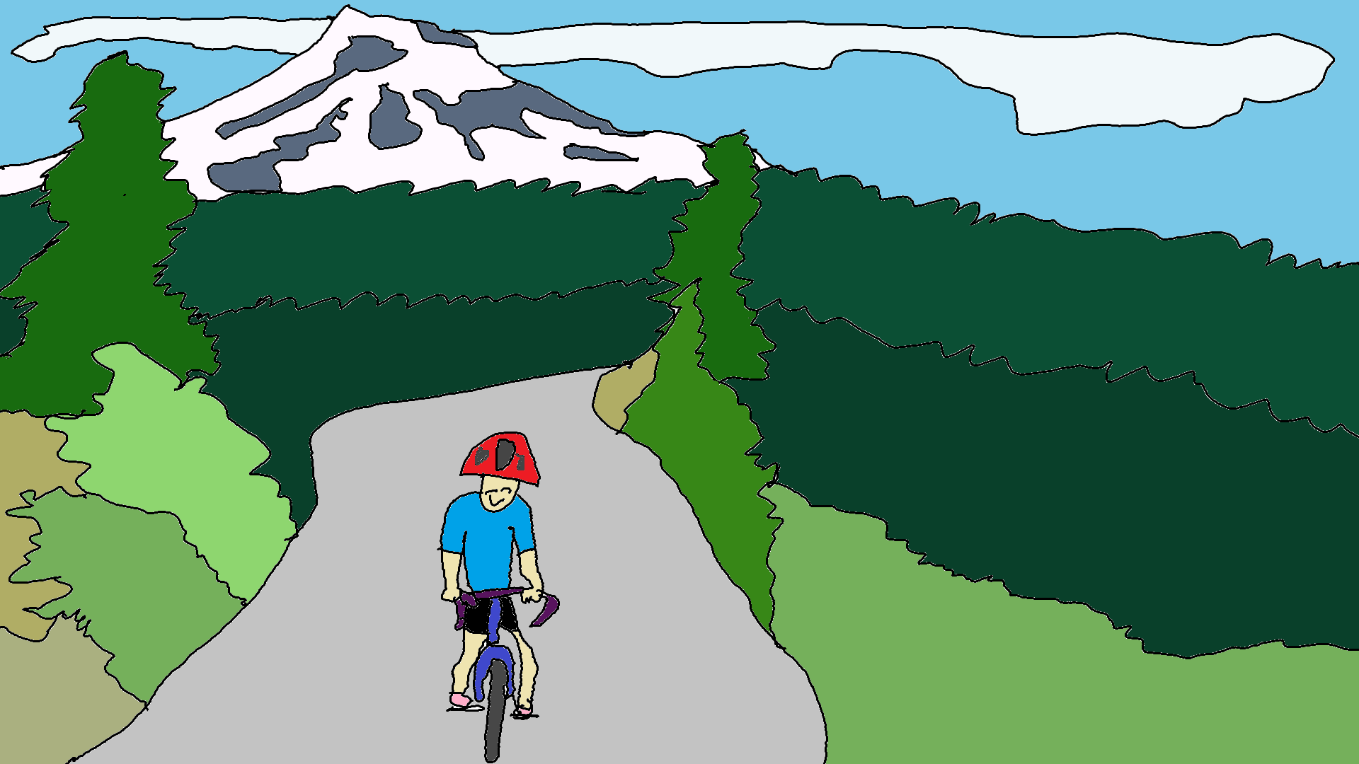
This crusher of a ride comes to you courtesy of the Mt. Hood Cycling Classic, which wisely had riders start at Cooper Spur, so they didn’t give up 2/3 of the way through the ride in Parkdale.
This ride may be a crusher, but it’s downright awesome. You’ll warm up going downhill on perfect pavement that runs through apple and pear orchards. You’ll climb past more orchards and blueberry farms. Past the farms, the fun begins, with a right onto a narrow forest road signed “Wahtum Lake”. Don’t worry. It’s beautiful pavement. It winds through clearcuts for a couple of miles before entering deep forest. You’ll veer left on Lake Branch Road, which is no longer consistently cleared/maintained. As you wind through the woods on perfect asphalt, you’ll be thinking, “This isn’t so bad…” and then you’ll hit The Wall. You’ll climb up a very steep hill for a mile or two, then cross a bridge, then climb another 1/2 mile or so. If you time it right early in the season, you’ll be riding a single-lane road lined with snowbanks.
SUMMIT TWO – VISTA RIDGE
At the top of this first hill, you’ll be at Lost Lake. Pull into the campground, and take a right into the RV fill/dump station, where you can get some water. Turn around and head down Lost Lake road. It’s a high-speed descent full of sharp curves. Don’t miss the right turn onto Lolo Pass Road. You’ll drop (fretting every second of the downhill), and then you’ll realize that The Wall was nothing, as you shift into granny gear for the grind up Vista Ridge. This is the climb that used to shatter the peloton in the pro men’s class. It’ll probably shatter you too, but the views of Mt. Hood might balance out your pain. It’s fun, I swear, and there’s almost no traffic.
About ten miles of nearly flat pavement await you at the top. That’s followed by one last climb, and then there’s the fabulous descent into Parkdale. Watch out for potholes. Somewhere in that ten miles, USFS removed about 3 miles of pavement (and some other shorter sections) because it’s cheaper to remove pavement and put down gravel for logging trucks than it is to repave. You’ll probably want your gravel bike just for this.
SUMMIT THREE – COOPER SPUR
Parkdale is your chance to bail. If you’re tough, you’ll pass your car and head up to Cooper Spur for the third summit. The climb to Cooper Spur is quite nice. Great pavement. Not too steep. Water at the top. Finish the ride either by heading back the way you came (it’s a sweet descent, and hard to pass up), or head down to highway 35 and back to Parkdale. Naw, don’t go down 35. It’s not nice. Go back down Cooper Spur Road.
Make sure you stop in for some BBQ at Apple Valley or for a brew at Solera in Parkdale. There’s ice cream too.
DETAILED DIRECTIONS
click here for the step-by-step written directions with mileage
Directions: Park in downtown Parkdale. Head west on Baseline. Either take a right onto the Dee Highway or follow Baseline to Old Parkdale Road and take a right. Old Parkdale will dead-end into Dee Highway. Follow Dee Highway to Dee, and at 6 miles, take a 180 degree left turn onto Lost Lake Road. Follow Lost Lake Road (you can detour on Imai Road when you see it), and take a right onto FS 13 just past 11 miles. At 15.5 or so, stay left on Lake Branch Road (the right goes to Wahtum Lake). At 22.8, you’ll be at the top, and you can swing into Lost Lake Resort for water and ice cream. If you don’t want to ride all the way down to the lake, there’s a faucet just inside the gate in the maintenance area on the right side of the road (little pavement loop).
Head down Lost Lake Road. At 28.5ish, take a sharp right onto Lolo Pass / FS 18. Climb. Stay on this road. You’ll come out under power lines. The right fork is Lolo Pass (FS-18). You go left on Vista Ridge / Red Hill Road (FS 16), up the steeper road. Sorry. Keep climbing. There are a couple of streams in the lower 2/3 of this climb if you need to fill your water bottles. Use a filter. Somewhere way up there you’ll come to an intersection with the road that goes to Vista Ridge trailhead. It goes right. You go straight. Stay on this road. It’s flat for about 10 miles, and then drops you back into Parkdale. Make sure to keep looking behind you for views of Mt. Hood.
At the T intersection at 51.8ish, take a right. This will take you back to Parkdale in less than a mile. You can go back to your car with your tail between your legs. Or stop for snacks and more water at McIsaacs grocery store, Solera Brewery, or Apple Valley BBQ. Or you can take a right on Clear Creek Road and head for the third summit, Cooper Spur.
Follow Clear Creek. At mile 56, take a right onto Cooper Spur Road. Climb to Cooper Spur Inn, at mile 61. Either turn around and go back down, or follow Cooper Spur Road until it hits Highway 35 at mile 63.5. I recommend you go back the way you came. It’s a lovely descent. Highway 35 is not. If you choose to go past Cooper Spur Inn for the less pleasant way back, continue on. Take a left on Highway 35. At 69.7, take a left on Baseline Road and follow it all the way back to your car in Parkdale.
Enjoy!

Have an awesome day.
Love, Temira