

GORGE WIND FORECAST
If you’re still seeing yesterday’s and it’s after 9am, try opening this in an incognito window
today’s gorge wind forecast
Hi friends! Wow… yesterday was awesome, and I sure didn’t get that forecast right. That’s what I get for rushing through things trying to get it out by 9am after my meditation group! Lesson learned, and hopefully I didn’t mess up anyone’s day or weekend plans. If I did, I apologize. Looking at today, we’ll have another decent day on the river. Beyond today, offshore low pressure starts to interfere as does a ridge building in from the east. Generally speaking the wind will be lighter (but still probably 17-20mph+) and hotter for a couple of days, and then it’ll be impacted by thunderstorm potential for a couple days. Starting Thursday, the wind (probably – instability could interefere on Thursday) picks up and holds through the following Monday.
Let’s dive in, shall we? Sunday started with pressures of 30.03/29.96/29.92 for gradients of 0.07 and 0.04. Weak offshore high pressure joined the picture this morning, but it will lessen this afternoon. Marine clouds filled the Gorge from the metro area to Viento (ish) to start the day. Westerlies were in the 17-20mph range to start between Viento and the White Salmon River with single digits at Stevenson and the Rowena stretch (Doug’s has reopened, BTW) and 13-16mph in the eastern Gorge. Westerlies rise to 21-24mph this morning between Viento and Mosier with Stevenson slowly building to 17-20mph.
Strongest wind shifts east this afternoon in response to clouds burning off on the west side: expect gusty 17-20mph between Stevenson and Hood River with 21-24mph between Mosier and Rufus and 17-20mph east of Rufus to Arlington. River flow over the last 24 hours was 95-167kcfs (106-167kcfs at Rufus), river temp is 71.6F (poor salmon!), and high temp forecast is 83F for Hood River and 89F at Rufus. Oh… just a reminder that the Swell sensor reads low compared to the sensors at Viento, Rufus, and Arlington. In other words, 21-24mph at Swell is equivalent to 27-30mph at Rufus. This forecast predicts the readings on the iWind/iKite sensors.
RIVER FLOW FOR SITES BETWEEN AVERY (EAST OF THE DALLES) AND RUFUS: CLICK HERE FOR JOHN DAY DAM FLOW.
RIVER FLOW FOR SITES BETWEEN STEVENSON AND DOUG’S BEACH (WEST OF THE DALLES): CLICK HERE FOR THE DALLES DAM FLOW

tomorrow’s gorge wind forecast
A cloudless day is forecast on Monday with about an 8 degree cross-Cascade temp gradient. We won’t have much help from the synoptic (big) scale picture as pressures drop offshore. Still… we’ll have some wind. Expect 15-18mph from Viento to Mosier early. Midday wind rises to 17-20mph from Stevenson to Doug’s. East of there: calm. Evening westerlies pick up to 19-22mph between Mosier and Avery, stay under 10mph out east, and hold at 17-20mph between Stevenson and Hood River. High temp: 89F in Hood River and 95F out in the desert.
extended Gorge wind forecast
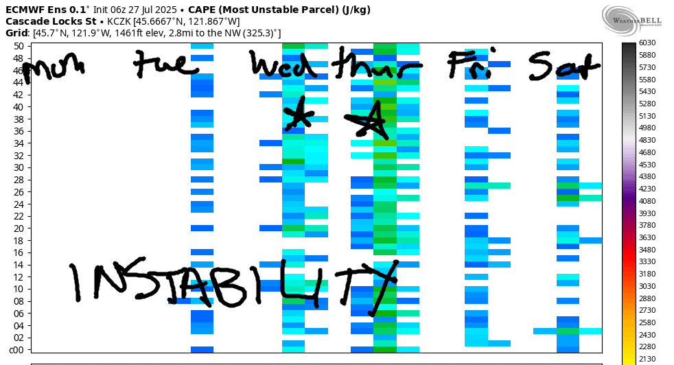
Similar conditions are forecast on Tuesday. Thanks to lingering heat in the desert, we might have a somewhat stronger Dawn Patrol, maybe 20-23mph at the Hatch. The wind dips to the teens midday and returns at 19-22mph late afternoon between Stevenson and Doug’s late afternoon. Wednesday carries some thunderstorm risk, but models still give us upper teens to low 20s for at least part of the day.
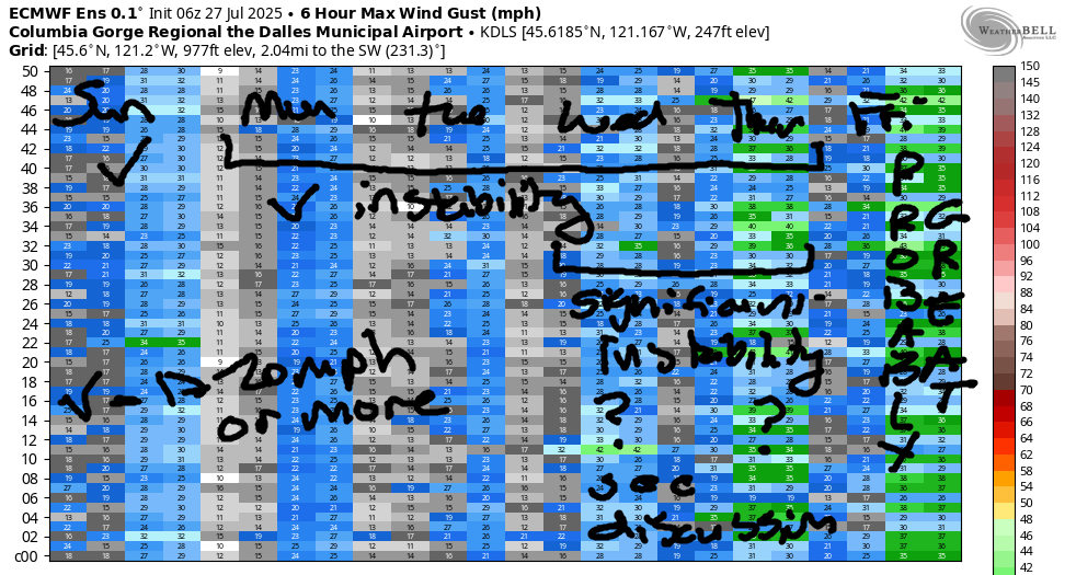
Thunderstorm chances continue into Thursday, but that doesn’t mean zero wind. As a matter of fact, these are elevated storms, and the wind often continues at the surface despite the instability aloft. Given the instability, however, there’s quite the range in the possible wind strength, but almost all of the ensembles have stronger wind than on Wednesday… at least until a thunderstorm comes overhead and shuts things down! As the airmass stabilizes through the weekend, westerlies increase; ensembles have 20mph+ Friday through the following Monday. That extended period, of course, has lots of uncertainty and is subject to change, but as of now, there isn’t a zero-wind day in the bunch. Have a great day on the river, everyone!
Was that helpful? I knew it was! Guess what? All of this crucial work – from your personal wind and snow reports to the invaluable TATAS updates – is made possible by my relentless efforts. Maintaining this labor of love isn’t easy. Each daily forecast takes hours. Website hosting, weather model access, and back-end admin work takes time and money. That’s where you come in.
YOUR CONTRIBUTION MAKES A DIFFERENCE
- SUPPORT ACCURATE, HYPER-LOCAL WEATHER FORECASTING
- ENABLE ACCESS FOR ALL, EVEN THOSE WITH LESS MEANS
- SUPPORT A COOL HUMAN WHO WORKS HARD SO YOU CAN PLAY
Take a moment to click one of the buttons below. Donate $19.99 or more (how much does this forecast enhance your life?) and get the email in your inbox. Whether it’s a renewing subscription (auto-renew) or a one-time donation, every contribution makes a real difference. Help me keep this labor of love alive, so we can all continue playing, commuting, and living in the Gorge with peace of mind and the best weather forecasts possible. Thank you!


Hood River, Oregon 97031


JONES BEACH, SAUVIE ISLAND, & COAST FORECAST
Wind northerly unless otherwise indicated. For coast, it’s North/Central/South with the “central” at approximately Florence. Swell forecast from NWS for central coast. Jones: westerly unless otherwise stated. Sauvie Island: northerly unless otherwise stated. Coast Sunday: LTWNW/LTWNW/N10-15, NW swell 3′ at 8 seconds. Monday: NNW15/NNW15/N20, NW 3′ @ 8. Tuesday: 15-20/15-20/25-30, NW 3′ @ 8. Jones Sunday: 15-18. Monday: 17-20. Tuesday: 23-26. Sauvie Island Sunday: 8-11. Monday: 9-12. Tuesday: 14-17.
BARE BONES HOOD RIVER WEATHER FORECAST
Clear sky all day. Temps start in the upper 50s (open windows) and rise to the low 80s (close windows). Moderate westerlies. No rainbows. Monday will be sunny. Temps start in the upper 50s and rise to the upper 80s. Moderate westerlies. No rainbows. Tuesday will be sunny then potentially thunderstormy. Temps start in the low 60s and rise to the mid 90s. Moderate westerlies. No rainbows.
TEMIRA’S AWESOME TRAVEL ADVISORY SERVICE – SUNDAY 7/27
HYPERLOCAL WEATHER FORECAST FOR THE COLUMBIA GORGE
THE DALLES, HOOD RIVER, WHITE SALMON, TROUT LAKE, STEVENSON, CASCADE LOCKS, PARKDALE, ODELL, HUSUM, BZ, MILL A, WILLARD, GOLDENDALE, RUFUS, ARLINGTON, boardman
Good morning, neighbors! It’s another sunny day in the Gorge, and it’s another early morning for TATAS. TATAS needs to take a day off and sleep in! Looking ahead to this week, we tumble into a short hot spell. But this hot spell isn’t like the other hot spells. This one, thanks to a deep low (1000mb) in the Gulf of Alaska, will turn muggy with a chance of thunderstorms. Best chance of storms: Wednesday afternoon into Thursday.
GLENWOOD THIS MORNING
Before we do anything else this morning, let’s touch base with Glenwood. My go-to sensor was offline. The backup was reporting 45 degrees, but that one runs a few degrees higher than the other. So, let’s call it 42 degrees in Glenwood this morning, which makes Glenwood the answer to Life, the Universe, and Everything. Don’t panic. Grab your towel. You’ll be just fine, at least until the thunderstorms arrive.
TODAY’S GORGE WEATHER FORECAST
But that’s not for a few days. Sunday will be a sunny one with just a few clouds, and those will be mostly east of the Cascade Crest and mostly in the afternoon. Temps start cool enough to open up your home (upper 50s most places). We’ll finish with pleasantries: low 80s to the west, upper 80s in The Dalles, and mid 90s way out in the desert where heat is necessary to make the watermelons grow big. GROW ‘EM BIG, EVERYONE! State record watermelon is 231.5lbs. Wind on Sunday: 15-20mph out of the west between Stevenson and Mosier in the morning and 15-20mph from Stevenson to the Arlington Rhombus in the afternoon.
monday’s gorge weather forecast
Clear sky and relatively low humidity tonight gives us excellent meteor viewing and a great night for sleeping: temps will fall into the 50s. Enjoy it, because Monday looks like a hot one: upper 80s to the west, mid 90s in The Dalles, and upper 90s out in the desert. Wind will be W 15-20mph from Stevenson to Avery with light wind to the east.
extended gorge weather forecast
Humidity increases from the south and then from the west on Tuesday. It’s a humidity invasion!!! Thunderstorm chances rise. Expect a 60 degree start and a 95-100 degree finish with west wind at 20mph between Stevenson and Murdoch. Things get a lot more interesting (maybe) on Wednesday as instability and humidity both skyrocket and a disturbance from California swings through like, well, like a tourist from California. Thunderstorm chances look decent. Temps are still forecast to max out at 95-100 degrees, but that’s probably overblown – cloud cover is likely to protect us from the hottest possible outcome. Wednesday wind looks like 20-25mph out of the west. Thunderstorm chances continue into Thursday. Temps will be down, and the wind is likely to be up. The air mass (probably) stabilizes and cools off on Friday as the overall setup shifts and puts us under west flow. That’s good enough for now, I think. Safe travels. -TATAS
HEY! DON’T STOP READING! Is this community-focused forecast helpful to you? It sure is! It takes me a couple hours a day to write. Please join your friends and neighbors in contributing to keep it going. Venmo: @thegorgeismygym PayPal: twomirrors@gmail.com USPS: Temira / PO Box 841 / Hood River, Oregon 97031 You can test out the forecast subscription for a few days for free by signing up below. Easy! Do it!
