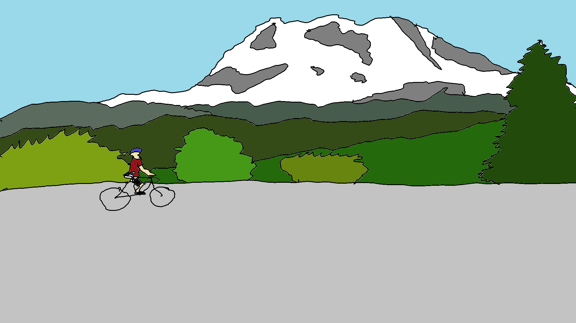
Trout Lake Loop Road Ride
Distance: 52 miles
Climbing: about 4400′
GPX file: click here
This road ride near Hood River (it starts 40 minutes away in Trout Lake) is nothing short of awesome. Really. Seriously. How can you not like blacktop forest roads with minimal traffic? How can you not like old-growth trees. And waterfalls? And babbling brooks and rushing streams? The roads usually become snow-free mid-June, but call the Mt. Adams Ranger Station to see if the 23, 90, and 88 road are clear of snow and downed trees.
Some advice: bring a third water bottle, iodine tablets, and plenty to eat, because this ride takes you to the middle of nowhere. There are a couple of gravel sections (1/4 mile or less), so be prepared with 2 tubes, a patch kit and a pump. Also, there’s probably no cell service for whatever service you use. If you rode this in years past, you may recall a couple huge washouts. Those have been fixed.
Sound intimidating? Bring some friends. There used to a group ride, The Mt. Adams Country Bike Tour, but it’s no longer happening. Maybe in the future it can happen again! If this ride isn’t long enough, you can combine it with the BZ Glenwood loop for 99 miles. Start in BZ, and ride the Trout Lake Loop first – that way you get most of the climbing done in the first 60 miles.
Now. The ride description. Park at the Trout Lake School, at the Ranger Station, or at the bottom of the descent on the 88 Road. Mileage points are from the store in Trout Lake.
Follow the main road north past the gas station, Station Cafe, and Heavenly Grounds Espresso. Bookmark that thought, and come back after the ride for a huckleberry milkshake. At 1.2 miles at the V, veer left onto Forest Road 23 toward Randle. At this point, you’ll pedal a series of rolling hills, culminating in a long, sunny climb with stellar views of Mt. Adams. That’s 2000′ of climbing out of the way. Pavement for this section: 5 stars.

After this, the road winds through mostly-flat, older forest. You’ll pass several streams and a very lovely waterfall. Pull out your water filter and refill before you get to FR 90. At 20.25 miles, take a left on Forest Road 90. Descend. Enjoy the pavement. You’re going to hit about 200 yards of gravel once you’re on the flats. Don’t worry. It’ll be over soon.
At 27.4 miles, take a left on Forest Road 88. Climb. Climb Climb more. Climb through a couple of short gravel sections. This section of road is pretty beat up, but as of 2024, it was doable on a road bike (rather than a gravel bike). That’s another 1100′ of climbing. There used to be two huge washouts in this section. Those have been fixed. When you cross them, know that you’re nearing the top of this hill. Roll over the crest, past the junction with the 8816 (on the left – connects with the 8810 and then back to the 83 road) and take a deep breath. The rest of the climbing comes in short sections.
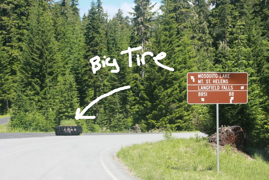
Next you’ll hit some beautiful smooth blacktop, mostly flat, with a couple short hills. When you get to Big Tire Junction (It’s obvious – there’s a big tire), you’ll go left. After a bit of rolling terrain, you’ll find yourself on a long and amazing shaded descent. If you park at the bottom of this hill, you’ll be happy – there are several miles of flat/slightly up after this to return to your car, and it can be quite hot on a sunny day. Go left when the road ends in a T, and return to your car at the ranger station or the school.
Have fun.

Have an awesome day.
Love, Temira