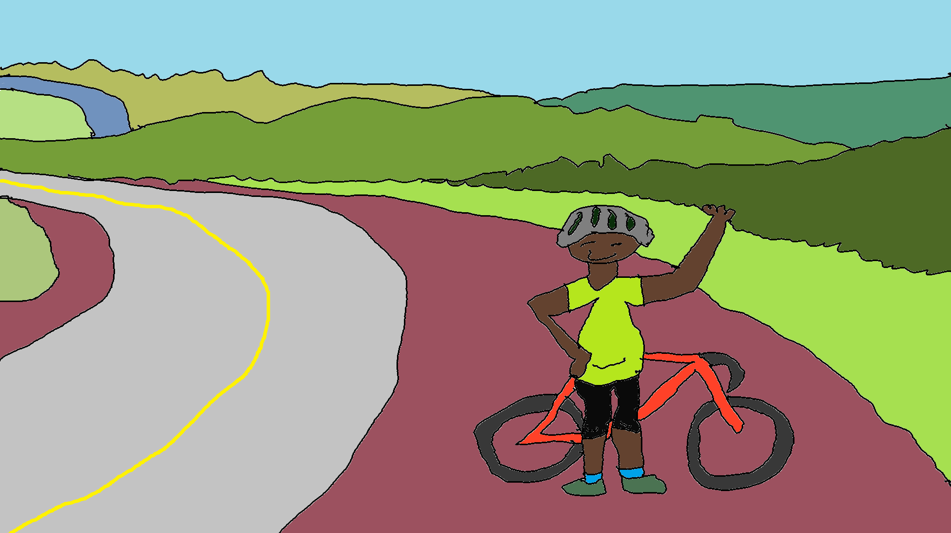
Sevenmile Hill Road Ride
- Mileage: 28.0 (add in the Historic Columbia River Highway from Hood River for 14 additional miles or add in Cherry Heights for 15 additional miles)
- Climbing: 2915′ (+1000 for HCRH addition)
- Starting point: Mosier, Oregon or Hood River, Oregon
- Road Surface: paved with mixed surface option
- GPX File: Pavement version
- GPX File: Mixed surface version
So you think you’re tough? You like to ride hills? If you’re really hardcore, you can ride this as fast as the pros in the now-defunct Cherry Blossom Classic. 1:15 was the average loop time for the Cat 1 men. Me: 2:30 or so! What is “this”? It’s a 28 mile, hilly, beautiful road ride near Hood River. There are several additions to make it longer, and all of the additions add even more character to this already great ride.
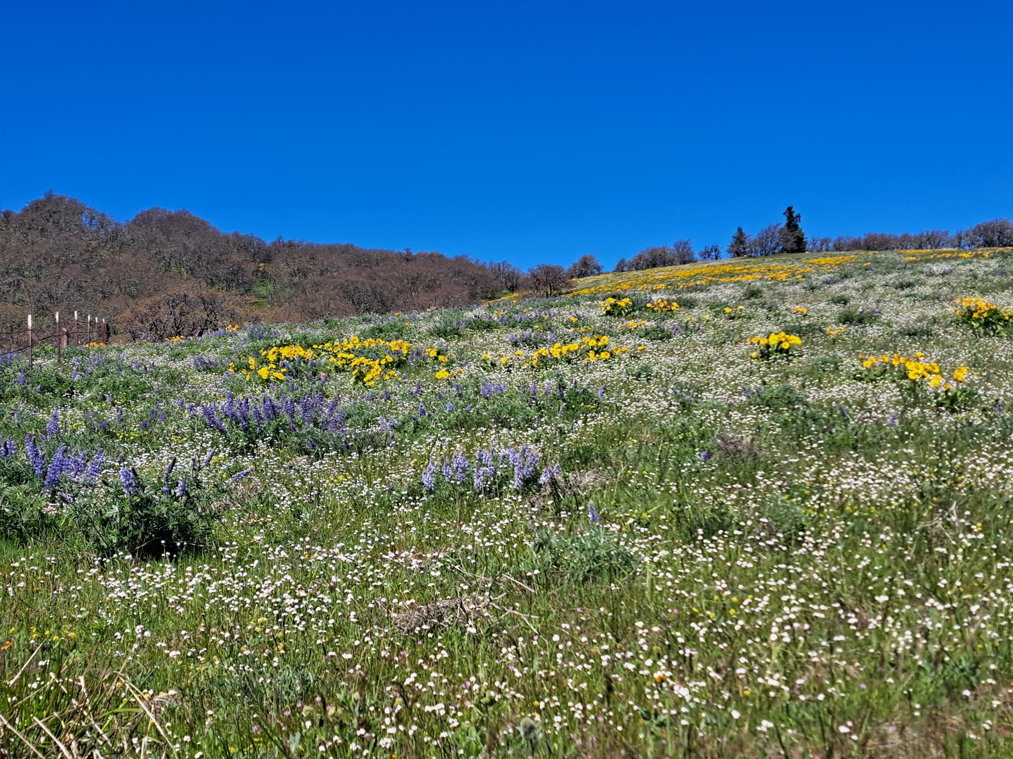
But let’s be serious. There’s no need to ride hard. There’s a lot of beautiful scenery to see. Take it easy. The views of the desert to the east of The Dalles and the Columbia River are well worth your trouble. Time it right in spring, and you’ll see fields of balsam root flowers and lupine. The climb out of Mosier on State Road will test you – hence the inclusion of the easier Dry Creek gravel climb – but you’ll love the descent into The Dalles. And the almost-always-shady flat time trial from The Dalles to Rowena is a blast, especially in an east wind. Just don’t do this ride on a strong west wind day, or that time trial will just be a trial. Enjoy the curvy climb from Rowena to Rowena Crest (you’ve probably seen that road in car, motorcycle and cycling ads). Bask in the stellar view from the Rowena Crest viewpoint. This is a fantastic ride. No arguing with that.
Start in downtown Mosier. Take a right at Center Street. Turn left onto 3rd Ave. Bear left up the hill onto State Road. Go up. Go up more. Pass Marsh Cutoff Road on the left and climb up the hardest hill of the ride. Keep riding up. At approximately 7 miles, you’ll reach the peak of Sevenmile/State Road hill, at 1820 feet. Descend down awesome switchbacks into The Dalles. At 12 miles, take a left at Chenowith Road. Turn Left at Chenowith Loop West. When the road hits a T intersection, take a left onto Old Highway 30. Follow this for approximately 8.5 miles to the top of Rowena Crest. You’re almost done climbing at this point. Follow the 30 from Rowena Crest back into Mosier for a total of 28 miles and around 2900 feet of climbing.
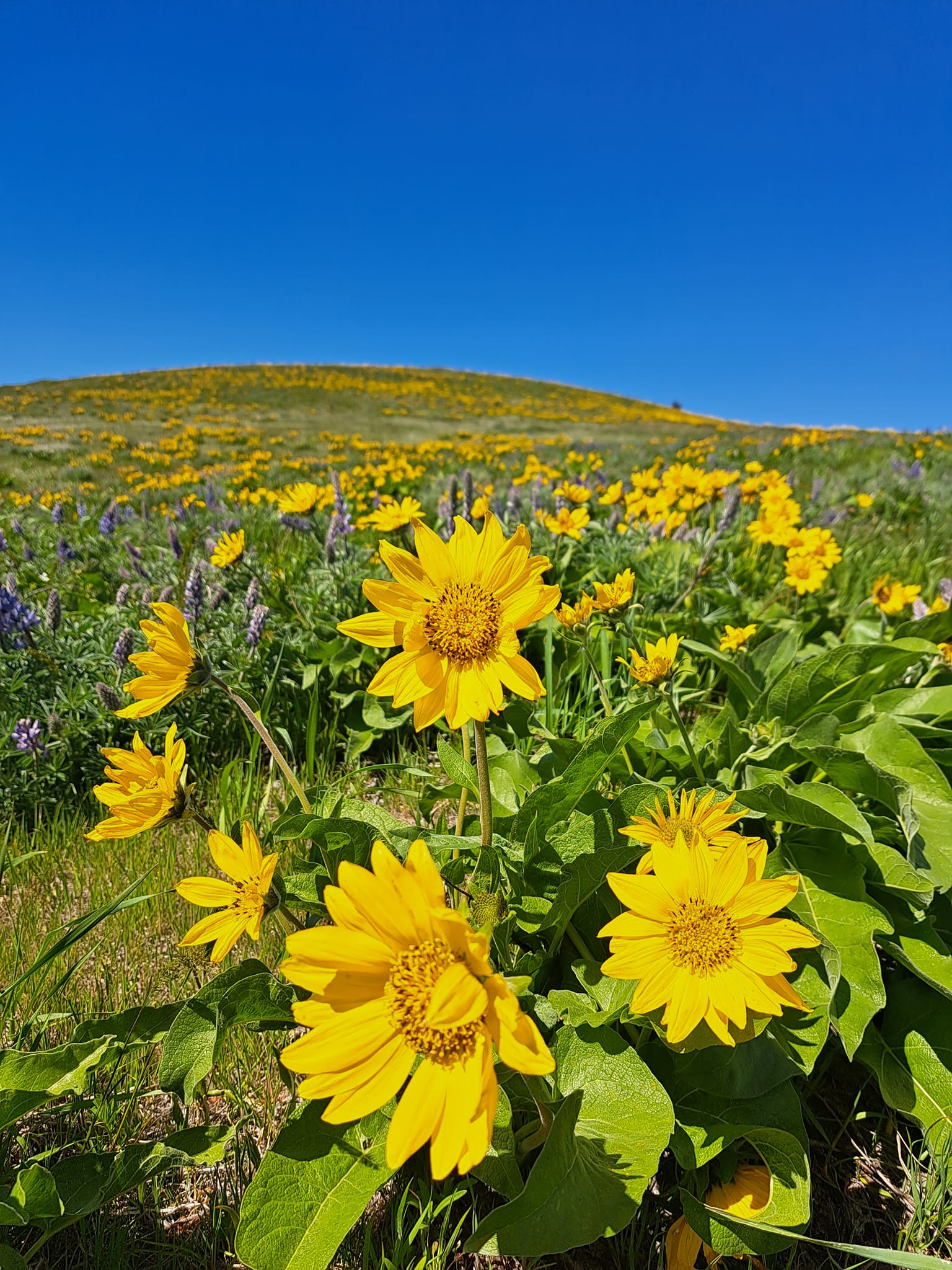
For the mixed surface version, start the same way. Prior to the first climb on State, take a right on Carroll Road. Take a quick left on Dry Creek Road. It’s a couple miles of excellent pavement followed by several miles of very nice gravel. Flowers in spring here are spectacular. Dry Creek dead ends into Sevenmile Hill about 1-1.5miles from the top. This version, I think, is much better than the full pavement version. It’s not out of the question to ride this on a road bike – just depends on how recently they have put new gravel down. Either way… awesome ride!
Enjoy!

Have an awesome day.
Love, Temira