Canyon Road Paved Loop
Distance: 28.6 miles
Elevation gain: 3285 feet
Starting point: Lyle, Washington
Road Surface: Pavement the whole way
Gravel / mixed surface ride in the same area: Fisher Hill
GPX file: click here
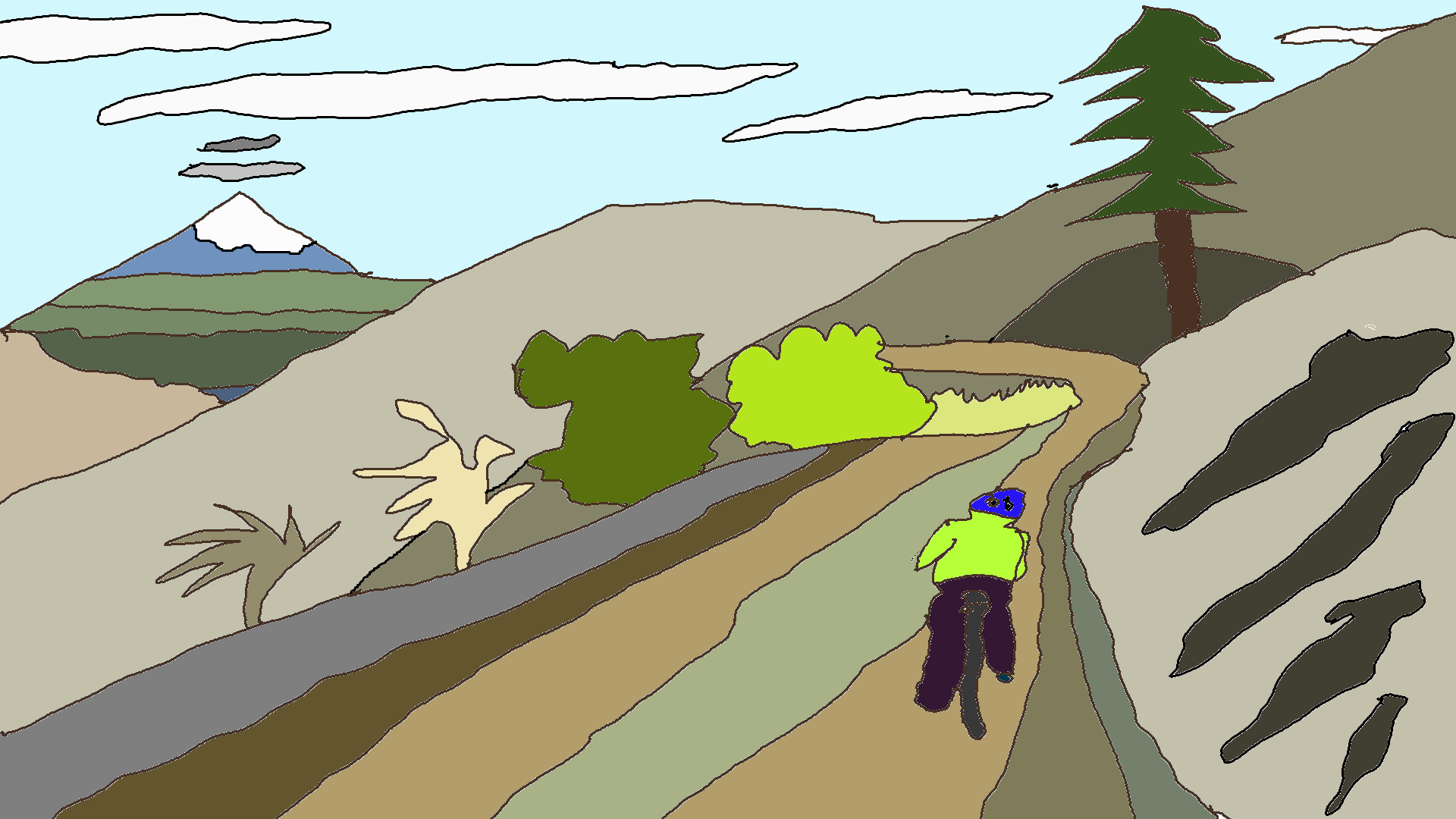
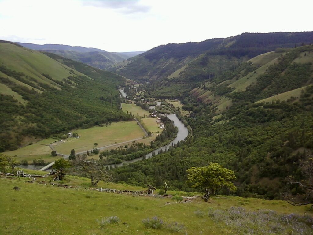
You’ve got two options here. Option one, counter-clockwise, is grueling climb with amazing descent. Option two, clockwise, is an amazing climb with steep paved descent. Whichever direction you choose, you’ll find perfection. The pavement is smooth, there are very few cars, the road winds and curves and disappears from view, there are wildflowers, there’s a river view… It really doesn’t get much better around here.

Drive to Lyle, Washington. Park at the Lyle Trailhead on the east side of the Klickitat River at the bottom of highway 142.
clockwise (awesome climb)
Head west on SR-14 about 100 yards and turn right up Canyon Road. When the road forks, turn right to stay on Canyon Road. Climb. Keep climbing. Climb more. Eventually the road will plateau, becoming straight, before one last climb. Take a right on the Klickitat-Appleton Road. Descend. Enjoy the views of the Klickitat River Valley.
At the bottom of the hill, take a right onto highway 142 and follow the Klickitat River back to your car. Keep an eye out for kayakers running the class II+ section of river that ends in the rapid Ishy-Pishy. When the river drops into a narrow gorge, stop and take a look. This is the class VI Klickitat Gorge, illegal to kayak (it’s on tribal land), filled with fishing platforms and downright gnarly rapids. It’s pretty darn cool, I think.
counter-clockwise (gnarly climb, awesome descent)
If it’s a west wind day, or if you want a long, steep climb of about 2000′ at 8%, ride do this ride the other direction, counter-clockwise. Park in the same spot. Head up the Klickitat River about 11 miles, and take a left on Klickitat-Appleton Road. Do not do this when it’s hot out. The climb is steep, exposed, and has very little shade for the first 1000′ of gain, which runs about 10% grade.
After the climb levels out, take a left on Canyon Road (the first paved intersection), and follow that road all the way back to the Columbia River. It’s a stellar descent: curvy, good pavement, spectacular views, and just-plain-fun! When you finish, there are several food options in Lyle: Confluence Cafe for coffee and pastries, Hot Wok for Chinese food, and the Lyle Mercantile for standard mini-mart fare with a side of groceries.
Enjoy the ride!

Have an awesome day.
Love, Temira