Lost Lake Road Bike Ride

Elevation gain: 2755+
Distance: 27.4+
GPX file click here
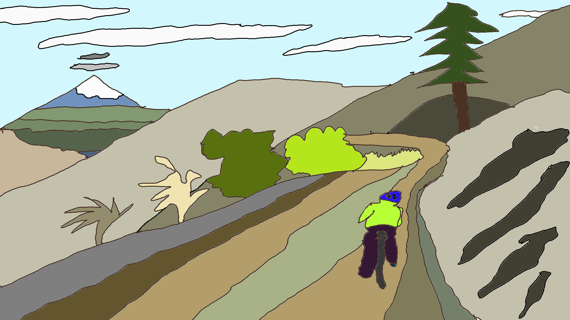
You like to climb hills, right? This is a big hill with excellent pavement and a gorgeous reward at the end. The descent’s amazing too, as long as you don’t try it on a weekend day, when the road is full of not-so-bike-savvy tourists headed to the lake.
Version 1: Drive west on Oak Street. Turn left onto 13th. Follow 13th out of town (it becomes Tucker Road). At the Odell/Dee intersection, veer right. Go 6.1 miles at the Dee turnoff. Park somewhere not marked “no trespassing.” Get on your bike and follow the signs to Lost Lake. 2755 feet of climbing is only broken up by 295 feet descending. Your legs will burn. Your spirit may be broken. Just remember that you can buy a little snack up at the resort. Ice cream, maybe?
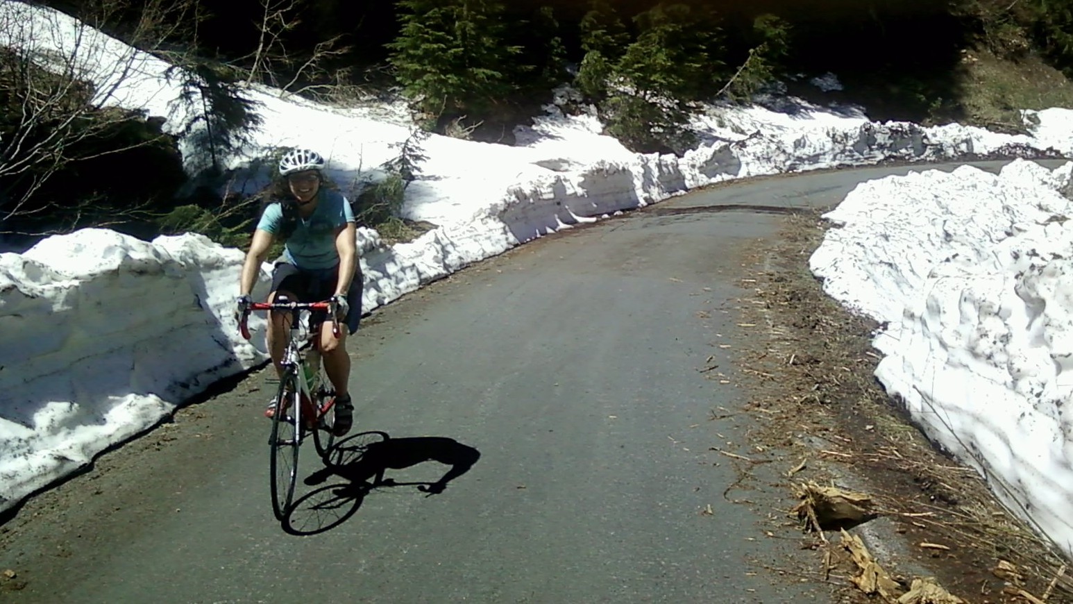
A second, much nicer option is to go the back way to Lost Lake, Lake Branch Road, and descend on Lost Lake Road (or do it as an out and back, 34.5 miles, 3000′ climbing, approx 3 hours). Here’s the catch: that road hasn’t been maintained since perhaps 2021, so you’re counting on someone with a chainsaw to have cleared it. It’s pretty darn awesome when clear. Start up Lost Lake Road, but turn right onto Lake Branch road after a few miles. The road isn’t marked “Lake Branch,” but follow the brown sign to Wahtum Lake. Further up the road, you’ll veer left at a V intersection, following the sign to Lost Lake. This is a less grinding, slightly (2 miles or so) longer ride than going up the main road to Lost Lake. Well, it’s less of a grind until a couple miles from the end, when there’s a mile or so of 10%+ grade. But it’s pretty, oh so pretty.
That’s followed by a slight descent, a bridge to cross, then another mile or so of gentle climbing to the entrance to Lost Lake Campground. If you enter the campground, you’ll see a maintenance shed area with a short paved loop. There’s a water faucet and huckleberries there. When you’ve sated yourself, head down Lost Lake Road and back to your car.
Distance: 27.4 miles round-trip (version 1), 53.4 (version 2)
Climbing: 2755 feet or so (version 1), 3410 (version 2)
Time: 1:30ish up, 30 minutes down (version 1). Twice that (version 2)
Special Note: The road to Lost Lake is typically clear by Memorial Day, but give the resort a call to confirm if it’s a big snow year: 541-386-6366
Version 2 (out and back): Start in Downtown Hood River, butt in the saddle. Ride east on Oak street through town, past everything. Before you cross I-84, turn left on Country Club. Head up Country Club until it T’s into Barret Drive at 2.97 miles. Turn left. Take a right on Markham Drive at 3.2 miles. Go one mile and take a left on Portland Drive. Portland ends at Tucker Road (5.25 miles). (Or make your way to this location however feels best to you) Turn right. At 6.25 miles, veer right towards Dee. Climb a hill. Not a big hill. Just a medium-size hill. Go 6.1 miles along beautiful Dee Flats. Veer right towards Dee. When you get to the intersection to Lost Lake Road, get on that road. Descent for a short while, and then climb a long while to Lost Lake. Do not attempt on a weekend.
Version 3 (lolipop). Start from Hood River or Dee, as above. At 5.0 miles from Dee, turn right towards Wahtum Lake. Follow Lake Branch Road up and up and up. Do not take the right turn to Wahtum Lake. Intead, veer left, and follow Lake Branch all the way to Lost Lake. Descend Lost Lake road for a fun, fast downhill. Return to Hood River.

Have an awesome day.
Love, Temira