Kingsley Reservoir Road Ride Hillclimb
KINGSLEY RESERVOIR CLIMB
Distance: 24.4 miles out-and-back; 31+ miles for the gravel loop
Elevation Gain: 3060 feet for the out-and-back; 3700+ feet for the gravel loop
GPX file for the out-and-back: click here
GPX file for the Ditch to Dead Point to Kingsley gravel loop: click here
Handwritten Directions: click here
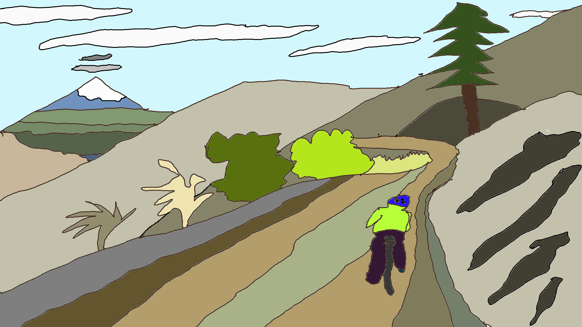
The out-and-back is a miserable road bike ride from Hood River. It’s a fun hill climb near Hood River. I don’t know what it really is – it’s both fun and awful, so awful that you’ll laugh. This one winds up a curvy forest road to 3250′ Kingsley Reservoir, hangout of ATV riders and shuttling mountain bikers. Do not forget your granny gear, because you’ll want it.
It’s worth taking some sort of clinometer with you, so you can put numbers to this horror. It starts easy enough, with some 6-7% climbs interspersed with rolling flats. And then the misery begins, with the clino never dropping below 10% for a good long while. A couple of corners will give you the dizzying reading of 18-20% grade. It’s relentless. It hurts. It’s fun. I think. Maybe it’s fun?
Start somewhere in Hood River. The GPX file starts you near the Hood River Skate Park on Wasco Street and takes you up Rand Road to the Heights. From there, you’ll go west on May Street, south on Frankton, and west on Belmont. You’ll have a mile or two of flat riding here: take a left on Methodist, a right on Barrett, and a left on Markham. At the next stop sign, take a right on Portland Drive. At the Oak Grove stop sign, a somewhat wonky 4-way intersection, follow the signs to Kingsley Reservoir. There’s a steep climb here. Take a left at Kingsley Road. This part’s fantastic – beautiful views, quiet… You’ll go past a home where firewood (and cold beer, apparently) is sold, climb a hill, roll for a mile or so, and then the fun begins.
There are no turns until you get to the entrance to Kingsley. That’s good, because you’d probably be so focused on the ground that you’d miss them. Summing it up: there’s a long steep climb followed by a couple miles of gentle climbing and then 2.5 miles or so of very steep misery. The pavement is pretty darn fantastic. Traffic is generally minimal.
Ride up until the pavement ends at the Kingsley parking lot. Ride back down, or better yet, drive a mountain biker’s pickup down, because the descent is too steep to be fun. Hopefully you have disc brakes. If you’re on a gravel bike, you can go right and return on Binn’s Hill or go left and return all the way around Dead Point to 2800 (Lover’s Lane) to Kingsley Road (or the Ditch). I’ll draw a map in the written instructions, okay?
Okay, I didn’t draw a map. But I uploaded a GPX file for another route that’s a gravel ride: start the same way. At about 7.4 miles, before the first steep section of Kingsley Road, there’s a dirt road with a gate on the left. There’s a parking area just uphill of it. I had to straightline it on the GPX track because I made it on MapMyRide, so you gotta follow my directions! Go through the gate, cross a bridge, and go left at the V. Short, steep climb up double track here to a great view of Mt. Hood. There’s another V a few miles in. Take the right fork into the forest. When you get to a gate, go left and descend the 2800 road. At the T intersection, go right on Dead Point (you’ve just crossed a bridge over a creek). Climb about 2400′ at 5% (no, really – it’s a great climb). At the end, go right to stay on Dead Point. This takes you to Kingsley, where you can descend pavement on Kingsley Road or gravel on Binn’s Hill Road. They come together just above Oak Grove, where you can pick up the GPX track again.
Enjoy. It’s actually quite rewarding. Type II fun, for sure.

Have an awesome day.
Love, Temira