BZ-Glenwood Road Ride
Total Distance: 42 miles
Climbing: 2865
Starting Point: BZ, Washington. Park at the launch site for the White Salmon River.
GPX file: click here
There are some rides that are must-do rides, and this is one of them. Best thing about this one: it’s one of the few rides in the Gorge that isn’t all that hilly. Yeah, 2865′ of climbing is considered “not hilly” around here. If you’re interested in scenery, you’ll have it: gorgeous views of Mt. Adams, the chance to see some wildlife at the Conboy National Wildlife Refuge, and some nice pavement with a great downhill. Traffic is minimal for most of the ride – you just have to get through seven miles on SR-141, which isn’t really all that busy!
Start the ride in the little hamlet of BZ Corner. Parking is easiest at the BZ launch for the White Salmon River.
You can ride this route either clockwise or counterclockwise, but I’m going to suggest you do the former. If you ride it the way I like it, you’ll have a beautiful descent to end the ride, and you won’t risk a nasty headwind through the center portion of the ride. Trust me. Clockwise.

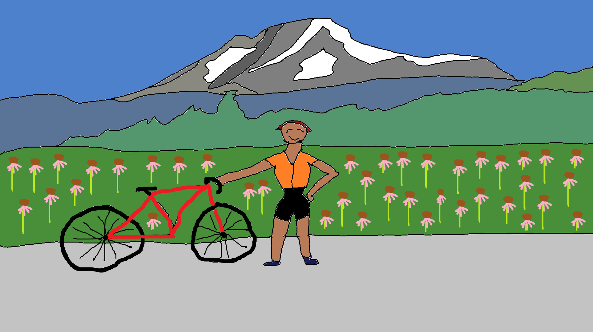
You start the ride going north from BZ on SR-141 for about seven miles. This isn’t the best pavement, and it’s not the quietest road, but it’s a great warmup, and it’s beautiful. But once you take a right on Sunnyside Road (6.8 miles), the traffic decreases, the pavement improves, and the fun factor shoots way up! You’ll see cows, deer, flowers (an echinacea farm!), and great views of Mt. Adams on Sunnyside Road.
Your biggest climb of the ride, around 700′, starts around mile 11, just after you make the right turn onto the Trout Lake Highway (mile 10.5). Don’t be intimidated by the “Highway” part of that – it’s quiet. Once this hill is out of the way, the ride is gravy. Rolling hills through pine forests give way to miles of flat or slightly downhill pavement into the town of Glenwood (22.4 miles). Stop for quick snacks at the Glenwood General Store, or get a sit-down meal at Glenwood Station. Need energy? Check the slurpee machine at the Glenwood General Store – it often has slushy energy drink. Also, the jo-jos are excellent.
Head south out of town on the BZ-Glenwood Highway (again, “Highway” is used loosely here). This section is flat and sunny and pedals by the Conboy National Wildlife Refuge. At mile 27.2, go right to stay on BZ-Glenwood Highway. Forest takes over here, and you’ll be in the shade at least part of the time. You’ll see lots of birds, deer, and amazing views of Mt. Adams and old barns. Bring your camera for this stretch. Around mile 33, you’ll do a last series of short climbs, which bring you to the top of a fantastic descent into the farms above BZ. A few miles of flat pavement give way to a curvy, fabulous descent that leaves you at your car in BZ with a big smile on your face. You might be able to get food at The Logs Inn, but it opens and closes and changes hands pretty frequently, so you’ll have to check and see if it’s currently open.
If you’re hot and sweaty, drive down to Husum and jump off the bridge by the fire hall (not the bridge at Husum Falls – the OTHER bridge) on the right side of the road near Wet Planet Whitewater to cool off. You can also get snacks and coffee at Wet Planet during rafting season. The White Salmon is approximately 43 degrees, cold enough to cool off even the hottest cyclist.
Enjoy the ride – it’s one of my favorites!

Have an awesome day.
Love, Temira