Distance: ~22 miles
Elevation Gain: 2960
Best time of year: Spring (wildflower season), fall, late winter
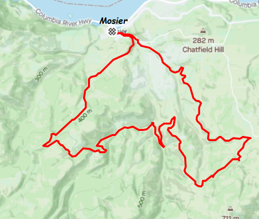
GPX file: Counterclockwise Version – Up Huskey
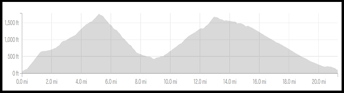
Do you like climbing hills? You will enjoy this ride. It’s another one that blows the Gorge Ratio (1000′ of climbing per 10 miles) out of the water. Now, first, let’s talk about which direction you go. It doesn’t really matter. You have four hills. They come packaged like this: Dry Creek+Wilson; Digger-Carroll+Huskey. The GPX file takes you up Huskey (excellent up or down), down Wilson (hard as hell up, and hand-cramping down); up Mosier Creek to Digger to Carroll (lovely until the very end, when it’s hard); and down Dry Creek (stellar either way). Put ximply, the GPX goes counterclockwise. Feel free to go the other direction. No regrets there.
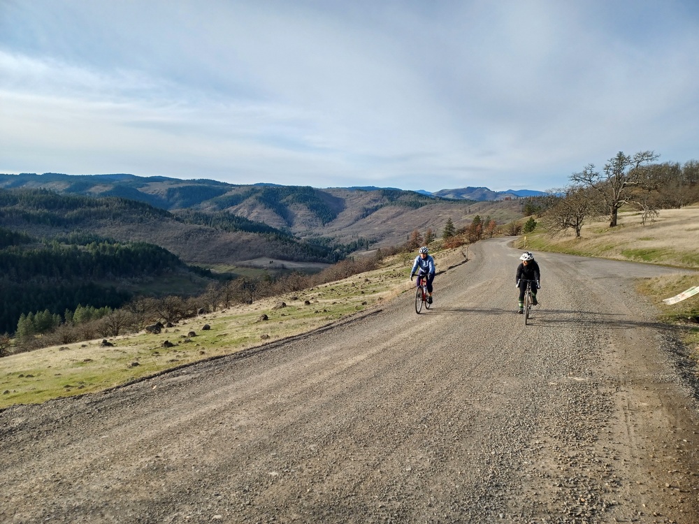
Directions: park close but not too close to La Vaquinta taco stand in Mosier. Take any of the short roads up to State Road, and go left. Go a few hundred yards and take a right up Huskey. Complain that the writer of this paragraph did not give you a chance to warm up; you’re in granny gear right from the get go. The climb is steep pavement for about a mile. You’ll get a reprieve of flat pavement before the road turns to gravel and climbs more. The gravel levels out briefly at the intersection of Elder and Huskey. Go left (right takes you to Old Dalles Road and the Whoopdee Trail and back to Hood River via a gnarly gravel descent) and climb for 1/4 mile to the intersection of Fir Mountain (the BEST gravel ride) and Wilson. Go left down Wilson.
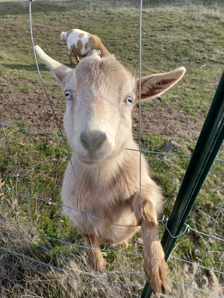
You’ll eventually come to pavement. Go left and then take a quick right onto dirt – Mosier Creek Road. After a mile or so, take a left at the T intersection (the right is Mosier Creek, and it eventually dead ends). Climb to Carroll Road along perfect sunny gravel. Take a right on Carroll and climb more. it’s mostly exposed to the sun, but you’ll get a bit of shade too. When you hit a steeper section, you’re close to the end. When you come to the mini island of trees in the middle of the road, take a left. That’s Osburne Road. Follow that rolling, mostly shady road a few miles to Dry Creek. Before you go down, see if there are animals and treats for them at the little animal rescue farm on the right.
Descend Dry Creek. If it’s spring, plan on a slow descent as the fields of Balsam Root flowers will capture your attention. At the bottom of Dry Creek, go right on Carroll and then a quick left on State back to Mosier. Eat tacos. You get one for every 1000′ of climbing completed. The cabeza tacos and the fish tacos are stellar, as is everything else there.