Cherry Heights via Mosier
Distance: 41 miles
Elevation Gain: 4059′
GPX file for all pavement ride: Click here
GPX file for mixed surface ride: Click here
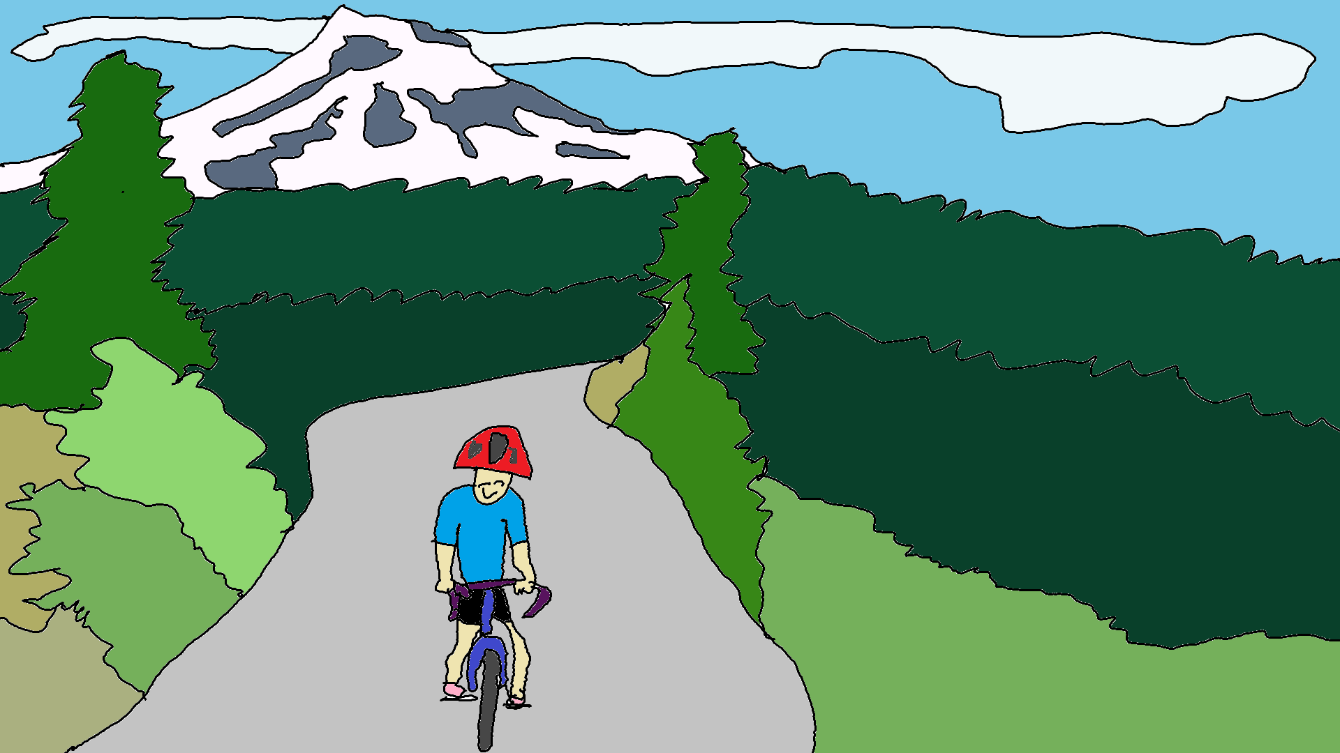
Gorge locals and visitors alike focus on rides near Hood River. That’s fine. Hood River’s cool. The rides are awesome. Traffic is minimal. But Hood River’s WET in the winter. It’s RAINY. It’s … right on the eastern edge of a big, wet, orographically-enhanced precipitation zone. If you want a gravel, mixed surface, or road ride near Hood River that works in more seasons, this one is for you!
Drive 7 miles east of Hood River, and you’re nearly in the desert. Keep going to The Dalles, just 10 miles further, and the precip total drops to 15″ a year. Riding bikes in The Dalles, in the fall, spring and winter, just makes sense. In summer, however, strong west wind and 100 degree days means The Dalles is out.
The Sevenmile + Cherry Heights loop is a classic addition to the classic 28 mile 7-Mile Hill loop. Start in Mosier. Leave heading east on 3rd Avenue. Climb State Road, with its .9 mile section of death just above Marsh Cutoff Road. Keep climbing to the top (1700′ elevation), and descend 7 Mile Road into The Dalles. Gravel option: leave Mosier via 3rd Avenue. Veer right on Carroll Road, and then veer left on Dry Creek Road. This is pavement for a few miles, and then it’s excellent gravel. It reconnects with State Road about 2 miles from the top. It’s friendlier and easier than the paved route up State. Either way… at the Dry Creek – State intersection, keep climbing to the top of Sevenmile. Descend. At the bottom, turn right on Chenowith. After a few miles of rolling terrain, bear left on Browns Creek. This makes a 180 degree turn and becomes Cherry Heights, which you’ll climb for a few miles. Descend the fun, curvy road through cherry orchards to The Dalles.
Take a left on 10th. Go a few miles and take a right on Chenowith Loop Road. Take a left at the T intersection on to the Old Dalles Highway, and follow that all the way back to Mosier. The first 10 miles are nearly flat, and then you’ll climb 800′ or so to Rowena Crest, with a great view, before descending back to your car at Mosier, where you have earned the right to eat the best tacos and tamales ever at La Vaquita.
Do the ride from Hood River for an extra 14 miles and 1000′ of additional climbing. Turn left at the bottom of 7 mile hill rather than right, to skip Cherry Height and remove 14 miles and 1000′ or so of climbing.
Enjoy. This is one of my favorites. Don’t do it on a windy day, or you’ll hate both me and yourself.

Have an awesome day.
Love, Temira