| Your favorite launch | dawn patrol |
morning max | afternoon max | executive session |
|
|---|---|---|---|---|---|
| Iwash (Rooster) Rock | sun’s | out | buns | out | |
| Stevenson | LTW | LTW | LTW | 12-15 | |
| Viento | 12-15 | LTW | LTW | 12-15 | |
| Swell-Hood River | 12-15 | LTW | LTW | 12-15 | |
| Lyle to Doug’s | 12-15 | LTW | LTW | 12-15 | |
| Rufus, etc: 233-284kcfs flow | LTV | LTV | LTV | LTV | |
| Roosevelt & Arlington | LTV | LTV | LTV | LTV | |
| River flow last 24 hours: 214-287kcfs | =River temp: 59.36F | High temp: 87F | |||
Gorge Wind Forecast
Hi friends! Over the last couple of model runs, some uncertainty about Sunday has arisen. It’ll still be windy, but the previously promised early morning nukage isn’t guaranteed any more. Longer-term, we still have a good setup for (almost) daily westerlies of some sort. Gotta like that!
Friday’s best chance will be really early or really late. Daytime heating equalizes pressures on the east side and west side and pretty much shuts things down for the middle of the day. To start, we had pressures of 30.01/29.95/29.97 for gradients of 0.06 and E 0.02. Wind was in the 12-15 range from Viento to Doug’s at dawn. The river was partly glassy in Hood River by the time I finished the forecast. By midday, the wind will be calm or nearly so. Westerlies don’t return to usable levels until the Executive Session (after 5pm), when we’ll see 12-15 from Stevenson to Swell or perhaps Hood River. River flow over the last 24 hours was 214-287kcfs, river temp is 59.36F, and high temp forecast is 87F.
Saturday sees a weak weather system move through the area. Unfortunately, it won’t do much to lower temps on the west side, nor will it drag in a marine layer. We’re left with moderate west wind to start the day: 18-21 from Viento to Hood River for Dawn Patrol with 12-15 from Stevenson to Mosier. Thankfully, the desert will win the heating game. By early afternoon, we’ll have 20-23 from Stevenson to Doug’s. Swell may drop to 16-19 for this period thanks to the passage of that weather system, but Swell’s wind should return in the evening as things stabilize. Late day wind rises to 22-25 from Stevenson to Avery. High temp: 87F under partly high overcast sky.
Looking at Sunday… in previous forecasts, we’ve had very consistent indications of a very strong day. All of a sudden, that’s backed off, at least in the deterministic GFS. It appears this is due to more overnight cooling in the desert and slower heating in the morning. That said, models do indicate long-lasting marine clouds on the west side. Looking at the ensembles, we have decent indications for a strong wind day. It’s just a matter of when and where. Dawn Patrol should be somewhere in the 23-26 range. The deterministic GFS suggests a dip midday, but I’m not sure I buy into that. Late day desert heat should take westerlies to 25-28+ from Stevenson to Arlington. High temp: 80F.

Extended: windy, day after day. The devil is in the details, of course. Depending on the placement of a ridge midweek, the wind could back off some. Looking at next weekend, ensembles are consistent in cooling temps on the west side and keeping things warm to the east. IN other words, it’s likely to remain windy. Enjoy!

A poem:
Was that forecast helpful?
Did it save you time or gas money?
Did it make your life more fun?
Then please make a contribution.
Writing this takes me an hour or two a day.
Without your support, I can’t keep it up.
Keep the forecast going.
Subscribe or donate.
And share my forecast with your friends!
 |
 |
 |
|
Not ready to subscribe? No problem – please share this forecast with all your friends too!
Or try a month for free!
Jones, Sauvie Island, Oregon Coast
North/Central/South coast, waves (swell forecast provided by NWS). Wind forecast for the afternoon (unless it’s a storm on the coast, in which case that’s peak wind during the day). Wind direction N (coast/Sauvie Island) and W (Jones) unless otherwise noted. Friday: 15-20/15-20/25-30, W swell 6′ at 11 seconds and SW 2′ @ 15. Saturday: 10-15/15/25-30, W 5′ @ 15. Sunday: NNW10-15/NNW 15/N 25-30+, W 7′ @ 13 and SW 2′ @ 14. Jones Friday: 15-18. Saturday: 21-24. Sunday: 21-24. Sauvie Island Friday: 15-18. Saturday: 14-17. Sunday: 16-19.
Alan’s Sauvie Island Wind Sensor
Mt. Hood Weather Forecast
I’m tired. It’s on vacation.
Very basic Hood River weather forecast. Don’t plan your life around this. You really should read Temira’s Awesome Travel Advisory Service on Facebook
A few high clouds this morning give way to clear sky. Temps start in the upper 50s and rise to the upper 80s. Moderate westerlies early and late. Calm in the middle. No rainbows. Saturday will be partly high cloudy. Temps start near 60 and rise to the upper 80s. Muggy. Moderately strong westerlies. No rainbows. Sunday will be mostly clear. Temps start in the upper 50s and rise to 80 or so. Moderately strong westerlies. No rainbows.
Local-ish Events
Please let me know of outdoor-related local-ish events. If you don’t tell me, I don’t know!
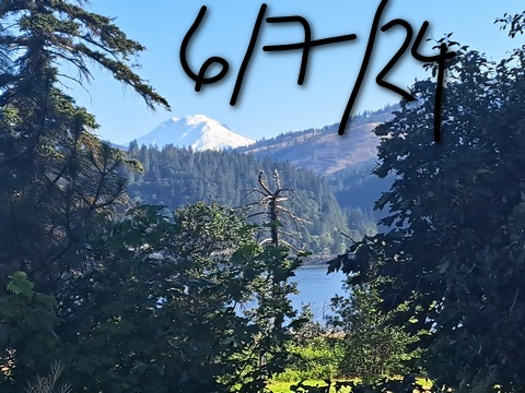
There’s a weekly social for Wind Johnnies (The Gorge Wind Social) at Ferment Brewing every 3rd Monday this summer. On June 25th, Brave Endeavors hosts a pride MTB ride at Post Canyon at 5:30pm. June 30th is Vortex #3, a paddling race. There may be a DW SUP foil race this weekend. First Friday art walk is in Hood River today (6/7). It’s Pride First Friday. There are also various pride events going on this weekend.
The Columbia Gorge Junior Kayak Club offers free roll sessions (gear provided) for kids at the Hood River Pool every other Tuesday from 5:30 to 7pm. Visit their website for more deets: https://www.columbiagorgejuniorkayakclub.org/. Amayah’s offers a free meal every First Thursday from 1pm to 4pm. Regular weekly events:. NK Studio’s by-donation Tuesday morning yoga class is back. Ferment’s Tuesday night 4-mile walk/run is at 6pm. There’s meditation with monks at 5:15pm (an hour) and 6:30pm (30 minutes plus a talk) at Yoga Samadhi in White Salmon.
Cycling
After a nice dry day yesterday, trails should be dried out and perfect. If you get there and it’s muddy, turn around. Find something else to do! Post, Whoopdee, Hospital Hill, Syncline, Columbia Hills, and Nestor are open. Eightmile, Knebal, Bottle Prairie, Surveyor’s, Dog River, Sueprconnector, and Cook Meadows are open. Fifteenmile is clear of snow but has not been cleared of downed trees. Lewis River is open. Lower Falls Creek is open, but the area above Horse Camp is not. Cows are out on Hospital Hill. NO DOGS. That means you, all of you, even your dog that’s [insert adjective]. No dogs. Do not risk access for everyone. No parking at the corral.
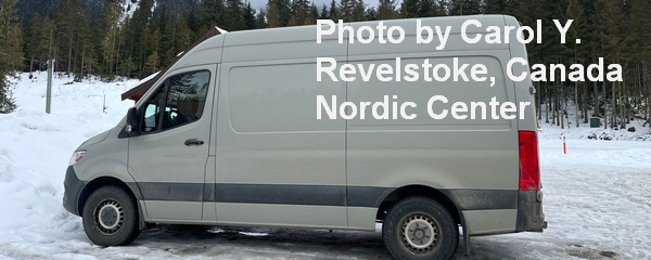
Sprinter Van of the Week!
 Click here for the Sprinter Van map of the world!!!
Have an awesome day!


