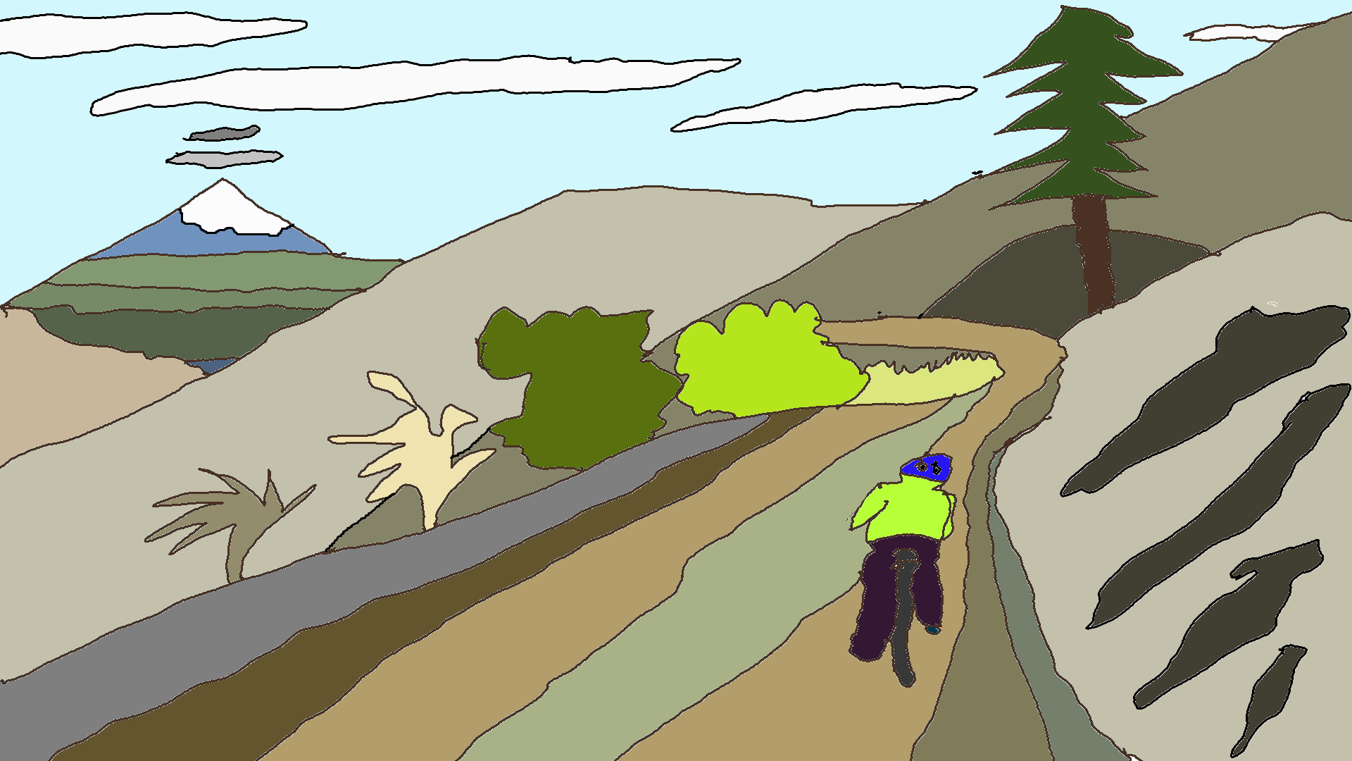
Cooper Spur from Hood River road ride
This one’s for the road bikers!
Mileage: 61.6 miles
Climbing: Approximately 5791 feet
GPX File click here
PDF directions click here
Sometimes you want to spend hours and hours and hours in the saddle riding excellent pavement and gaining lots of elevation. If that’s you, this is the ride for you. This ride has the mileage you want, the hills you love to climb, and it also has easily accessible snacks and water!
Start in downtown Hood River or somewhere in the nearby neighborhoods. You’ll work your way south out of town through the back roads, mostly. That’s followed by quite a few miles on the Dee Highway* up to Parkdale. At 19.4 miles, there’s food and water: McIsaac’s grocery store, Solera Pub, and the Apple Valley BBQ. I usually stop at my friend Ellisa’s house for snacks (she’s right there near the restaurants), but she probably doesn’t want you and everyone else stopping.
After you’ve replenished your water and snacks, head south out of Parkdale on Clear Creek Road, take a little jog over to Cooper Spur Road, and do a long climb to Cooper Spur Inn (where there’s water and, if you time it right, food). That’s at approximately 27 miles.
For more climbing, head up the road to Cooper Spur Ski Resort. Or stay on the road and head downhill to Highway 35 for the trip home. 35 is pretty quiet on summer weekdays, but it is busier on weekends. You can skip the highway if you’d like by reversing your route to Parkdale and picking up the GPX route at the corner of Baseline and Allen Road.
If you choose Highway 35, you’ll ride down to Baseline Road (36.8 miles) and follow it back to Parkdale (39 miles). You’ll work your way through the back roads to another short stint on 35 followed by some beautiful scenery as you cruise down (and up and down) the back roads back to Hood River. Next chance for snacks is in Odell (51.5 miles) or Pine Grove, but that second one is a detour. You may be able to fill up your water bottles at Packer Orchards Farm Place (~55miles).
*If you’d like to get off Dee Highway for a bit, you can jog south on Trout Creek Ridge Road (then Old Parkdale Road, then Baseline) to meet up with the GPX track at the corner of Dee Highway (281) and Clear Creek Road.

Have an awesome day.
Love, Temira