


Thank you for using this forecast. Like it? Find it useful? Support it (and me!) by sending some cash my way. What’s it cost to support me and get the email version? Not $99 a year. Nope. Not $49. Just $19.99 or more gets you a year. People are added to this list on Thursday and Sunday. My day job is crisis mental health, and I don’t have time on other days. Thanks for your patience! Click below to contribute. Thank you!!
 |
|
 |
Thank you for contributing and keeping this forecast going! Not ready to subscribe? No problem – please share this forecast with all your friends too! I appreciate your support!
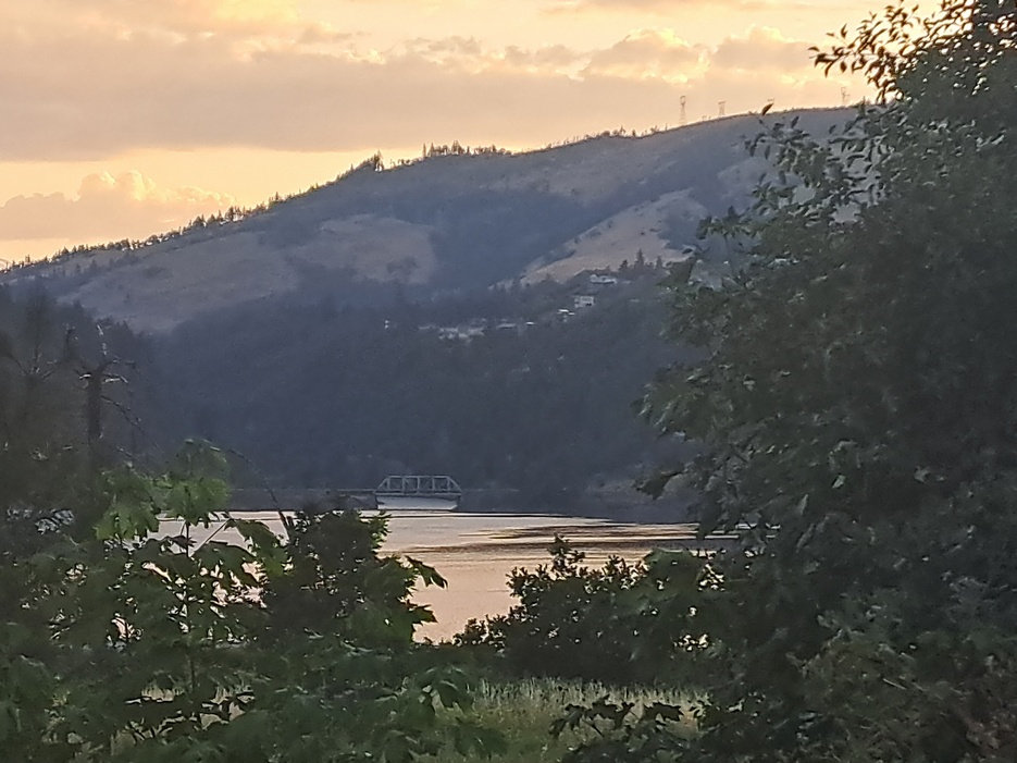
The Forecast
| Your favorite beach | Dawn Patrol |
9am- 11:30a |
11:30a- 3pm |
3pm- dusk |
|
|---|---|---|---|---|---|
| Rooster Rock | wind | free | buns | free | |
| Stevenson | LTV | 10-13 | 13-16 | 20-23 | |
| Viento | LTV | 10-13 | 16-20 | 20-23 | |
| Swell-Hood River | LTV | 10-13 | 20-23 | 17-20 | |
| Lyle to Doug’s | LTV | 7-10 | 14-17 | 20-23 | |
| Rufus, etc. | calm | calm | LTW | 7-10 | |
| Roosevelt & Arlington | calm | calm | LTW | LTW | |
Gorge Wind Forecast
Welcome back from your rest days! Hopefully you’re all ready to get back on the river. The ensembles of our models indicate west wind will stick around in some form or other all the way through the end of the extended forecast. We’ll have moderate westerlies (mid 20’s max) through the weekend. Models then hint at slightly stronger wind for the first few days of next week. After that: more variety in the forecasts, but still a very clear sign of westerlies of some sort. Fingers crossed that holds!
Friday morning, TGIF, kicks off with light and variable to calm wind. Pressures are 29.86/29.87/29.88 for gradients of 0.01/0.01. These low pressures are indicative of a weak low sitting upon us, and that setup hints at atmospheric instability. Why do we care? Well, that combo is likely to result in gusty and unreliable wind this afternoon. That said, we’ll have wind. Expect 13-16 from Stevenson to Hood River, maybe to Mosier, by late morning or early afternoon. From there, the wind slowly builds to 20-23 from Hood River to Doug’s with 20-23 at Stevenson and 13-16 at Swell. Somewhere in that period, Swell is also likely to see an hour or two of low 20’s. Late in the day, the wind pushes east to Lyle, Rowena, Doug’s, and Avery. That also coincides with the period of highest thunderstorm chances, so be prepared for the wind to crap out on you. River flow yesterday was 126-177kcfs, river temp is 65F, and high temp forecast is 83F.
A nice marine push Saturday morning sets us up for another 20-something day on the river. Worth noting – the lackluster northeast Pacific high won’t contribute much to the wind speed. Also, those marine clouds won’t last long, and the metro area will heat up, so the thermal component won’t send the wind skyrocketing. For the early morning, expect 11-14 all the way from Stevenson to Arlington. Midday westerlies rise to 14-17 from Stevenson to Rufus. Afternoon brings 21-24 from Hood River to Arlington with 18-22 at Stevenson and the typical surge-fade out pattern at Swell. High temp: 81F.
On Sunday, we start with 15-18 from Stevenson to Swell and max out at 20-23 from Stevenson to Avery. Models hint at strengthening high pressure offshore next week. If that materializes, we’ll start seeing stronger westerlies for next week’s opening salvo. Either way, the ensembles are hanging on to westerlies at 15-20+ all the way through the extended forecast. In other words, there should be enough wind every day for a good long while for a good portion of you to find something to do on the river. Enjoy!
| FORECAST SPONSORED BY / AWESOME COMPANIES TO SUPPORT | |
 |
|
Jones, Sauvie’s, Coast
Wind speed in knots. Direction Northerly unless otherwise noted for Coast. Westerly for Jones. Northerly for Sauvie Island. North/Central/South, waves. Wave forecast provided by NWS. Friday: NW5-10/NW5-10/NNW5-10, W swell 2′ at 10 seconds. Saturday: NW10-15/N15-20+/25-30+, W swell 2′ @ 9 seconds. Sunday: 15-20/20-25/25-30, W 2′ @ 9. Jones Friday: 24-27. Saturday: 18-21. Sunday: 17-20. Sauvie Island Friday: 14-17. Saturday: 11-14. Sunday: 12-15.
Mt. Hood Snow Forecast
On vacation until fall unless something extraordinary happens.
Hood River Weather Forecast
A pretty convective-debris sunrise this morning clears up and then adds additional convective clouds later. Slight chance of thunderstorms or a sprinkle. Temps will be in the mid 50’s early (open the house) and low 80’s later (close the house). Light wind early. Moderately strong westerlies later. 3% chance of rainbows. Saturday will have some marine clouds to the west of Hood River. Otherwise: clear sky. Temps start in the mid 50’s (open windows!) and end in the low 80’s (closed windows). Moderate westerlies early. Moderately strong westerlies later. No rainbows. Sunday will be mostly clear and will add some clouds along the Cascade Crest. Temps start in the mid 50’s (open windows) and end in the low 80’s (closed windows). Moderately strong westerlies. No rainbows.
Looking for a complete Columbia Gorge forecast? Looking for more humor in your weather? Obscenities? You’re looking for my TATAS: Temira’s Awesome Travel Advisory Service on Facebook.
Local-ish Events
Please let me know of outdoor-related local-ish events. If you don’t tell me, I don’t know! On Friday evening at 5:30, you can watch the movie Pororoca about foiling the world’s longest wave. Saturday is 12 hours of Post Canyon. Mosier Fest is Saturday 6/24, noon to 8:30 at the Mosier School. The Mt. Hood Megaloop kite competition window runs June 23 (or 24 – the Facebook both said both!) to July 3 at Rufus. There are still spots open.
On June 24th (sat) at 8:45am will be the final brush and bike party up on the backside of Nestor Peak Trail. This section is pretty cool – it includes the old growth Middle Fork Grove, is up above 3k and doesn’t have poison oak. After the brush work, you can hike to Monte Carlo summit or take advantage of a shuttle ride and pedal all the way to Nestor Peak and down. Meet at Northwestern Park.
Regular weekly events: NK Studios in Bingen has a donation-based yoga class at 7:30am every Tuesday. Ferment’s Tuesday night 4-mile walk/run is at 6pm. There’s meditation with monks at 5:15pm (an hour) and 6:30pm (30 minutes plus a talk) at Yoga Samadhi in White Salmon. At 7:15am on Wednesdays, there’s a run from the White Salmon Bakery. At 7am on Friday morning, there’s a run from Pine Street Bakery. On Fridays at 2:30pm, there’s a free meditation and stretching class at Yoga Samadhi. On Saturday at 9am, there’s a by-donation outdoor group fitness on the 2rd floor deck above Ferment Brewing.
Regular bike rides (thanks to the Hood River Area Trail Stewards for collecting). Tuesday is Mountain View’s ride. Meet at 5:45pm on Post Canyon Drive where the pavement ends. Wednesday is the Evo/Kickstand all-ability, no-drop Post Canyon ride. 5:30 from the shop or join along the way. All abilities welcome. Thursday is Mountain View’s women’s ride. 5:30pm, Seven Streams Trailhead. No drop. Thursday is also the Dirty Fingers Post and Pint. 5:30 from the shop or later at Family Man. This is hardcore, race-pace. Saturday morning is the Mountain View road/gravel ride. Two hours. 12-14mph average speed. Starting May 6th, Oregon Ebikes has the women’s ride at 8:30am. Meet at Seven Streams parking lot for a 1.5 to 2 hour ride.
Cycling
How much rain do you need to make brown pow out of dust? Somewhere between 0.1” and 0.25”. When’s it gonna happen? Who the heck knows? Did it rain on the 44 trail system over the last few days? Go check it out and tell me! Logging is happening on Hospital Hill on the trail between the top of Roll Baby Roll and the Bench. This means you cannot make a full circle. You could ride Bad Wolf and Millennium as a loop. You can ride Roll Baby Roll and Triple Bypass as a loop. You cannot access Treehugger at this time. Post is clear of snow to the top. Dog River and Surveyor’s are clear. Bottle Prairie, 8 Mile, Underhill, Cedar Creek, Lower Cooks, and Super Connector are open and already dusty. Fifteenmile is rideable. Super Duper Connector is open. Nestor Peak is clear of snow. The USFS website says that Lewis River is open and clear. The Forest Loop above Trout Lake is open as is the mixed surface Sleeping Beauty/8810 loop. Always remember to consider gravel riding! If you’re parking at Post Canyon, you will need a parking pass. Those can be purchased at many local shops or online.
Valuable Advice for Gardeners Inhabiting Neighboring Areas
You have an unusual solstice-week opportunity. With the clouds and the chance of drizzle and the cool temps, you have a perfect opportunity to sow seeds. Replace your lettuce. Drop in another round of cilantro. Add some arugula. Carve out a little trench for some carrots. Water them, and you might just get away with once-a-day watering through Monday. It’s also a decent time to add some plants to your garden. They’ll prefer this gentle start to a harsh, hot-weather transplant. Happy gardening.
Sprinter Van of the Week!
 Click here for the Sprinter Van map of the world!!!
Have an awesome day!
